Captain Fold
Captain Fold is a suburb in Rochdale, England. Captain Fold is situated nearby to the suburb Crimble, as well as near Hopwood.| Tap on a place to explore it |
Places of Interest
Highlights include Heywood railway station and St John the Evangelist.
Heywood railway station
Railway station

Photo: Raymond Knapman, CC BY-SA 2.0.
Heywood railway station serves the town of Heywood, in Greater Manchester, England. Formerly a stop on the national railway network, it is now the southern terminus of heritage East Lancashire Railway services.


Places in the Area
Nearby places include Heywood and Norden.
Heywood
Town

Photo: The Real Galatas, CC BY-SA 3.0.
Heywood is a town in the Metropolitan Borough of Rochdale, Greater Manchester, England, on the south bank of the River Roch, 2 miles east of Bury, 4 miles southwest of Rochdale, and 8 miles north of Manchester. Middleton lies to the south, whilst to the north is the Cheesden Valley, open moorland, and the Pennines.
Norden
Village

Photo: Wikimedia, CC BY-SA 2.0.
Norden is a village within the Metropolitan Borough of Rochdale, Greater Manchester, England. Historically part of Lancashire until the local government reorganisation of 1974, it lies on the western outskirts of Rochdale and had a population of 9,733 according to the 2021 census. Norden is situated 2 miles north of Captain Fold.
Birtle
Hamlet
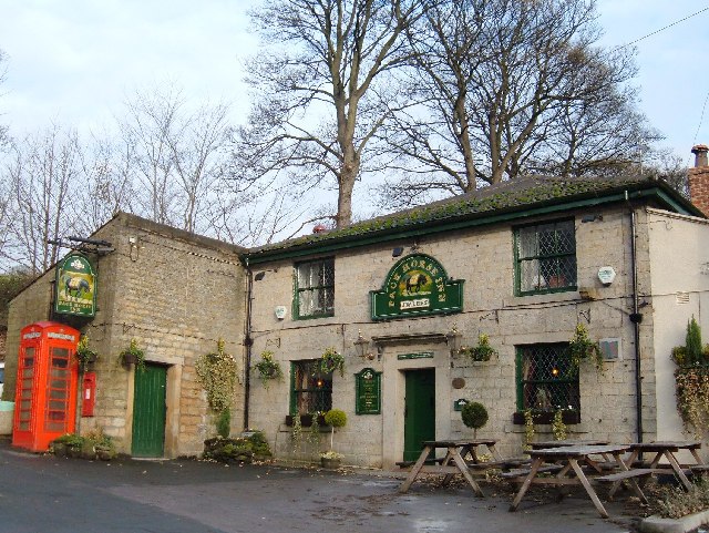
Photo: michael ely, CC BY-SA 2.0.
Birtle is an affluent hamlet Historically in the parish of Bury, Lancashire, now within the Metropolitan Borough of Rochdale, in Greater Manchester, England. Birtle is situated 2½ miles northwest of Captain Fold.
Captain Fold
- Type: Suburb
- Category: locality
- Location: Rochdale, England, United Kingdom, Britain and Ireland, Europe
- View on OpenStreetMap
Latitude
53.5956° or 53° 35′ 44″ northLongitude
-2.20761° or 2° 12′ 27″ westOpen location code
9C5VHQWR+6XOpenStreetMap ID
node 13233069854OpenStreetMap feature
place=suburb
This page is based on OpenStreetMap, Wikidata, and Wikimedia Commons.
We’d love your help improving our open data sources. Thank you for contributing.
Satellite Map
Discover Captain Fold from above in high-definition satellite imagery.
Localities in the Area
Explore places such as Captain Fold and Crimble.
Notable Places Nearby
Highlights include All Souls Church of England Primary School and Tabore Marthoma Church.
England: Must-Visit Destinations
Delve into London, Manchester, Sheffield, and Leeds.
Curious Suburbs to Discover
Uncover intriguing suburbs from every corner of the globe.
About Mapcarta. Data © OpenStreetMap contributors and available under the Open Database License". Text is available under the CC BY-SA 4.0 license, except for photos, directions, and the map. Photo: sidibousaid, CC BY 2.0.