Haybridge Hill
Haybridge Hill is a locality in Skirpenbeck, East Yorkshire, England. Haybridge Hill is situated nearby to the locality Brock Leys, as well as near West Ings.| Tap on a place to explore it |
Places of Interest
Highlights include Church of St Andrew and Full Sutton.

Full Sutton
Aerodrome

Photo: Chris, CC BY-SA 2.0.
Full Sutton Airfield is an unlicensed aerodrome located 8 nautical miles east of York in the East Riding of Yorkshire, England. It is located adjacent to, and south-east of, Full Sutton Prison. Full Sutton is situated 2 miles south of Haybridge Hill.
St John the Evangelist’s Church, Buttercrambe
Church

Photo: Andy Kerridge, CC BY-SA 2.0.
St John the Evangelist's Church is an Anglican church in Buttercrambe, a village in North Yorkshire in England. The church lies in a grassy churchyard, south of the village's Main Street. St John the Evangelist’s Church, Buttercrambe is situated 1½ miles west of Haybridge Hill.
Places in the Area
Nearby places include Skirpenbeck and Youlthorpe.
Skirpenbeck
Village
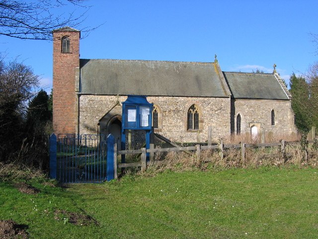
Photo: Stephen Horncastle, CC BY-SA 2.0.
Skirpenbeck is a village and civil parish in the East Riding of Yorkshire, England. It is situated 2 miles north-west of Stamford Bridge just north of the A166 road.
Youlthorpe
Hamlet

Photo: DS Pugh, CC BY-SA 2.0.
Youlthorpe is a hamlet in the East Riding of Yorkshire, England. It forms part of the civil parish of Bishop Wilton. It is situated approximately 10 miles east of York, 5 miles north-west of Pocklington and just south of the main A166 road from York to Bridlington.
Buttercrambe
Hamlet

Photo: Wikimedia, CC BY-SA 2.0.
Buttercrambe is a small village in the Buttercrambe with Bossall civil parish, in North Yorkshire, England. Buttercrambe is some 9 miles north-east of York, and on average about 56 feet above sea level. Buttercrambe is situated 1½ miles northwest of Haybridge Hill.
Haybridge Hill
- Type: Locality
- Location: Skirpenbeck, East Yorkshire, Yorkshire, England, United Kingdom, Britain and Ireland, Europe
- View on OpenStreetMap
Latitude
54.00621° or 54° 0′ 22″ northLongitude
-0.84576° or 0° 50′ 45″ westOpen location code
9C6X2543+FMOpenStreetMap ID
node 13234198245OpenStreetMap feature
place=locality
This page is based on OpenStreetMap, Wikidata, and Wikimedia Commons.
We’d love your help improving our open data sources. Thank you for contributing.
Satellite Map
Discover Haybridge Hill from above in high-definition satellite imagery.
Localities in the Area
Explore places such as Brock Leys and West Ings.
Notable Places Nearby
Highlights include Hay Bridge and St Mary’s Church.
East Yorkshire: Must-Visit Destinations
Delve into Kingston upon Hull, Beverley, Bridlington, and Hornsea.
Curious Localities to Discover
Uncover intriguing localities from every corner of the globe.
About Mapcarta. Data © OpenStreetMap contributors and available under the Open Database License". Text is available under the CC BY-SA 4.0 license, except for photos, directions, and the map. Photo: AlasdairW, CC BY-SA 3.0.