South Lattenbury (proposed)
South Lattenbury (proposed) is a locality in Hemingford Abbots, Huntingdonshire, England. South Lattenbury (proposed) is situated nearby to the locality Great Lattenbury (proposed), as well as near the neighborhood Romans‘ Edge.| Tap on a place to explore it |
Places of Interest
Highlights include Hemingford Grey Meadow and Godmanchester Town Hall.
Hemingford Grey Meadow
Nature reserve

Photo: Dudley Miles, CC BY-SA 4.0.
Hemingford Grey Meadow is a 0.7-hectare biological Site of Special Scientific Interest south of Hemingford Grey in Cambridgeshire. It is managed by the Wildlife Trust for Bedfordshire, Cambridgeshire and Northamptonshire as Arthur's Meadow. Hemingford Grey Meadow is situated 1½ miles east of South Lattenbury (proposed).
Godmanchester Town Hall
Town hall

Photo: Alan Murray-Rust, CC BY-SA 2.0.
Godmanchester Town Hall is a municipal building in The Causeway, Godmanchester, Cambridgeshire, England. The town hall, which was the meeting place of Godmanchester Borough Council, is a Grade II listed building. Godmanchester Town Hall is situated 2 miles northwest of South Lattenbury (proposed).
Houghton Mill

Photo: Cmglee, CC BY-SA 3.0.
Houghton Mill is a water mill located on the Great Ouse in the village of Houghton, Cambridgeshire, England. It is a National Trust property and a Grade II* listed building. Houghton Mill is situated 2½ miles north of South Lattenbury (proposed).
Places in the Area
Nearby places include Hilton and Godmanchester.
Hilton
Village

Photo: Adrian Cable, CC BY-SA 2.0.
Hilton is a village and civil parish in Cambridgeshire, England. Hilton lies approximately 11 miles north-west of Cambridge. Hilton is situated within Huntingdonshire, which is a non-metropolitan district of Cambridgeshire as well as being a historic county of England. Hilton is situated 2 miles southeast of South Lattenbury (proposed).
Godmanchester
Town
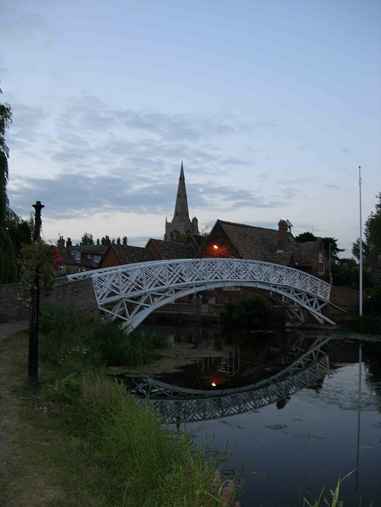
Photo: Wikimedia, Public domain.
Godmanchester is a town and civil parish in the Huntingdonshire district of Cambridgeshire, England. It is separated from Huntingdon, 1 mile to the north, by the valley of the River Great Ouse. Godmanchester is situated 2 miles northwest of South Lattenbury (proposed).
Papworth St Agnes
Village

Photo: Shaun Ferguson, CC BY-SA 2.0.
Papworth St Agnes is a village and civil parish in South Cambridgeshire, England. The population of the village is included in the civil parish of Graveley It has also been known as Papworth Magna, to distinguish it from the adjoining Papworth Everard and Papworth Parva. Papworth St Agnes is situated 2½ miles south of South Lattenbury (proposed).
South Lattenbury (proposed)
Latitude
52.29807° or 52° 17′ 53″ northLongitude
-0.14123° or 0° 8′ 28″ westOpen location code
9C4X7VX5+6GOpenStreetMap ID
node 13254731025OpenStreetMap feature
place=locality
This page is based on OpenStreetMap, Wikidata, and Wikimedia Commons.
We’d love your help improving our open data sources. Thank you for contributing.
Satellite Map
Discover South Lattenbury (proposed) from above in high-definition satellite imagery.
Localities in the Area
Explore places such as Great Lattenbury (proposed) and Romans‘ Edge.
Notable Places Nearby
Highlights include South Lattenbury (Proposed) and Ridge and furrow.
England: Must-Visit Destinations
Delve into London, Manchester, Sheffield, and Leeds.
Curious Localities to Discover
Uncover intriguing localities from every corner of the globe.
About Mapcarta. Data © OpenStreetMap contributors and available under the Open Database License". Text is available under the CC BY-SA 4.0 license, except for photos, directions, and the map. Photo: sidibousaid, CC BY 2.0.