Theo Randall
Theo Randall is a restaurant in Westminster, Greater London, England which is located on Hamilton Place. Theo Randall is situated nearby to the hotel InterContinental London Park Lane, as well as near Four Seasons Hotel London at Park Lane.| Tap on a place to explore it |
- Type: Restaurant
- Cuisine: Italian
- Address: 1 Hamilton Place, London, W1J 7QY
- Wheelchair access: yes
Places of Interest Nearby
Highlights include Leicester Square and Apsley House.
Leicester Square

Photo: Aurelien Guichard, CC BY-SA 2.0.
The area around Leicester Square, often called the West End, is the entertainment heart of London. The area also includes Chinatown, Piccadilly Circus and Trafalgar Square.
Apsley House
Museum

Photo: Anthony O’Neil, CC BY-SA 2.0.
Apsley House is the London townhouse of the Dukes of Wellington. It stands alone at Hyde Park Corner, on the south-east corner of Hyde Park, facing towards the large traffic roundabout in the centre of which stands the Wellington Arch. Apsley House is situated 360 feet southwest of Theo Randall.
Constitution Arch

Photo: Canaan, CC BY-SA 4.0.
The Arch, also known as the Constitution Arch or as the Green Park Arch, is a Grade I-listed triumphal arch by Decimus Burton that forms a centrepiece of Hyde Park Corner in central London, at the corner where Hyde Park nearly meets Green Park. Constitution Arch is situated 520 feet south of Theo Randall.
Places in the Area
Nearby places include Belgravia and Mayfair-Marylebone.
Belgravia
Suburb
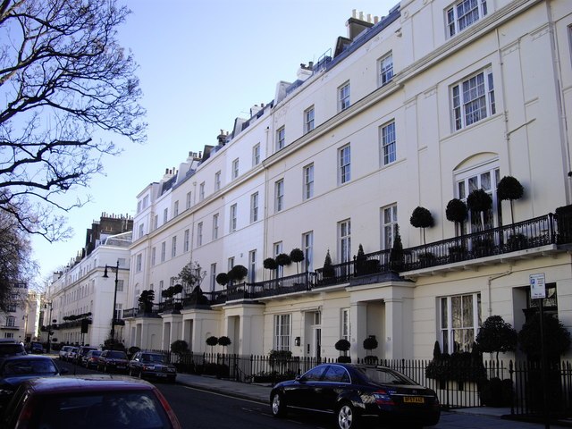
Photo: Paul Farmer, CC BY-SA 2.0.
Belgravia is a district in Central London, covering parts of the areas of the City of Westminster and the Royal Borough of Kensington and Chelsea. Belgravia was known as the 'Five Fields' during the Tudor Period, and became a dangerous place due to highwaymen and robberies.
Mayfair-Marylebone

Photo: Aniacra, CC BY-SA 4.0.
Mayfair and Marylebone are districts of central London. Together they cover a large area of western central London, encompassing the whole of Mayfair and Piccadilly to the south and the area from Oxford Street through Marylebone to Regent's Park and the border with St John's Wood to the north.
St James’s
Neighborhood

Photo: Diliff, CC BY-SA 3.0.
St James's is a district of Westminster, and a central district in the City of Westminster, London, forming part of the West End. The area was once part of the northwestern gardens and parks of St.
Theo Randall
- Category: food
- Location: Westminster, Greater London, London, England, United Kingdom, Britain and Ireland, Europe
- View on OpenStreetMap
Latitude
51.50393° or 51° 30′ 14″ northLongitude
-0.15028° or 0° 9′ 1″ westOpen location code
9C3XGR3X+HVOpenStreetMap ID
node 13254887541OpenStreetMap feature
amenity=restaurantOpenStreetMap attribute
cuisine=italianOpenStreetMap attribute
wheelchair=yes
This page is based on OpenStreetMap, Wikidata, and Wikimedia Commons.
We’d love your help improving our open data sources. Thank you for contributing.
Satellite Map
Discover Theo Randall from above in high-definition satellite imagery.
Notable Places Nearby
Highlights include InterContinental London Park Lane and Four Seasons Hotel London at Park Lane.
Nearby Places
Explore places such as Royal Aeronautical Society and Amaranto.
London: Must-Visit Destinations
Delve into South Kensington-Chelsea, Heathrow Airport, City of London, and South London.
Curious Restaurants to Discover
Uncover intriguing restaurants from every corner of the globe.
About Mapcarta. Data © OpenStreetMap contributors and available under the Open Database License". Text is available under the CC BY-SA 4.0 license, except for photos, directions, and the map. Photo: Pablo BM, CC BY 2.0.