Pitt’Ardennes
Pitt’Ardennes is a fast food restaurant in Namur, Wallonia. Pitt’Ardennes is situated nearby to Gedinne railway station, as well as near the church Église du Sacré-Coeur.| Tap on a place to explore it |
Places of Interest Nearby
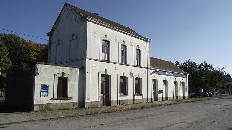
Highlights include Gedinne railway station.
Places in the Area
Nearby places include Patignies and Gedinne.
Patignies
Village

Photo: Jean-Pol GRANDMONT, CC BY-SA 3.0.
Patignies is a village, which is situated 2½ km northwest of Pitt’Ardennes.
Gedinne
Village

Photo: Jean-Pol GRANDMONT, CC BY 2.0.
Gedinne is a municipality of Wallonia located in the province of Namur, Belgium. On 1 January 2006 the municipality had 4,405 inhabitants. The total area is 151.56 km2, giving a population density of 29 inhabitants per square kilometre. Gedinne is situated 3 km west of Pitt’Ardennes.
Malvoisin
Village

Photo: Jean-Pol GRANDMONT, CC BY 3.0.
Malvoisin is a village, which is situated 3½ km north of Pitt’Ardennes.
Pitt’Ardennes
- Type: Fast food restaurant
- Categories: food and restaurant
- Location: Namur, Wallonia, Belgium, Benelux, Europe
- View on OpenStreetMap
Latitude
49.98401° or 49° 59′ 2″ northLongitude
4.97741° or 4° 58′ 39″ eastOpen location code
8FX6XXMG+JXOpenStreetMap ID
node 13270049265OpenStreetMap feature
amenity=fast_food
This page is based on OpenStreetMap, Wikidata, and Wikimedia Commons.
We’d love your help improving our open data sources. Thank you for contributing.
Satellite Map
Discover Pitt’Ardennes from above in high-definition satellite imagery.
Notable Places Nearby
Highlights include Église du Sacré-Coeur and District Routier de Gedinne.
Nearby Places
Explore places such as Pizz’Ardennes and Gedinne Gare SNCB.
Curious Fast Food Restaurants to Discover
Uncover intriguing fast food restaurants from every corner of the globe.
About Mapcarta. Data © OpenStreetMap contributors and available under the Open Database License". Text is available under the CC BY-SA 4.0 license, except for photos, directions, and the map. Photo: Zairon, CC BY-SA 4.0.