Заболотье
Заболотье is a locality in Moscow, Moscow Oblast. Заболотье is situated nearby to the hamlet Новодачный посёлок, as well as near the locality Черенцово.| Tap on a place to explore it |
Places of Interest
Highlights include Novodachnaya railway station and Fiztekh.
Novodachnaya railway station
Railway stop

Photo: Дрейхан Д., Public domain.
Novodachnaya is a railway station of Line D1 of the Moscow Central Diameters in Dolgoprudny, Moscow Oblast. It was opened in 1964 and rebuilt in 2020.
Fiztekh
Metro station
 Fiztekh is a Moscow metro station. It was opened on 7 September 2023 as the northern terminus of Lyublinsko-Dmitrovskaya line. The adjacent station is Lianozovo.

Places in the Area
Nearby places include Severny and Lianozovo District.

Lianozovo District
Suburb
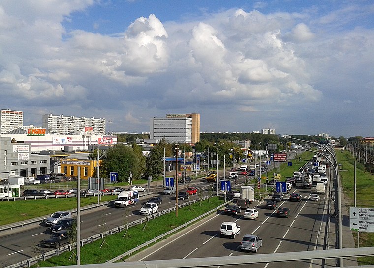
Photo: Lesless, CC BY-SA 3.0.
Lianozovo District is an administrative district, one of the seventeen in North-Eastern Administrative Okrug of the federal city of Moscow, Russia. It is located 15 km north of Moscow city center, on the south side of the Moscow Ring Road. Lianozovo District is situated 3 km southeast of Заболотье.
Vostochnoye Degunino District
Suburb

Photo: Bolvanka, CC BY-SA 3.0.
Vostochnoye Degunino District is an administrative district of Northern Administrative Okrug, and one of the 125 raions of Moscow, Russia. The area of the district is 3.77 square kilometers. Population: 95,700. Vostochnoye Degunino District is situated 4½ km south of Заболотье.
Заболотье
- Type: Locality
- Location: Moscow, Moscow Oblast, Central Russia, Russia, Eastern Europe, Europe
- View on OpenStreetMap
Latitude
55.92152° or 55° 55′ 18″ northLongitude
37.53285° or 37° 31′ 58″ eastOpen location code
9G7VWGCM+J4OpenStreetMap ID
node 1327195700OpenStreetMap feature
place=locality
This page is based on OpenStreetMap, Wikidata, and Wikimedia Commons.
We’d love your help improving our open data sources. Thank you for contributing.
Satellite Map
Discover Заболотье from above in high-definition satellite imagery.
Places with the Same Name
Discover other places named “Заболотье”.
Localities in the Area
Explore places such as Новодачный посёлок and Черенцово.
Notable Places Nearby
Highlights include Термолэнд and Центральный пруд.
Moscow: Must-Visit Destinations
Delve into Outskirts, Domodedovo International Airport, Sheremetyevo International Airport, and Central Moscow.
Curious Localities to Discover
Uncover intriguing localities from every corner of the globe.
About Mapcarta. Data © OpenStreetMap contributors and available under the Open Database License". Text is available under the CC BY-SA 4.0 license, except for photos, directions, and the map. Photo: Alvesgaspar, CC BY-SA 3.0.