Wheatfield Housing Substation
Wheatfield Housing Substation is an electrical substation in Tonna, Neath Port Talbot, Wales. Wheatfield Housing Substation is situated nearby to Tyn-yr-Heol Lock, as well as near the pitch Memorial Ground.| Tap on a place to explore it |
Places of Interest Nearby
Highlights include Gnoll Country Park and Church of St Anne.
Gnoll Country Park
Park
The Gnoll Country Park is a park in Wales. It is an early-18th-century landscaped garden covering over 100 acres in the Vale of Neath, in Neath Port Talbot county borough in south Wales. Gnoll Country Park is situated 2,900 feet south of Wheatfield Housing Substation.
Church of St Anne
Church

Photo: Jaggery, CC BY-SA 2.0.
Church of St Anne is situated 2,400 feet northeast of Wheatfield Housing Substation.
Ivy Tower
Ruins

Photo: Evansjohnd, CC BY-SA 4.0.
Ivy Tower is a ruins, which is situated 2,600 feet east of Wheatfield Housing Substation.
Places in the Area
Nearby places include Aberdulais and Cadoxton-Juxta-Neath.
Aberdulais
Village

Photo: James Ward (English artist), Public domain.
Aberdulais is a village and electoral ward in Neath Port Talbot, Wales, lying on the River Neath, in the community of Blaenhonddan. The village grew around the Aberdulais Falls, the site of successive industries and now a hydro-electric station.
Cadoxton-Juxta-Neath
Village

Photo: Cedwyn Davies, CC BY-SA 2.0.
Cadoxton is a village situated in Neath Port Talbot county borough, Wales. Cadoxton is located just outside the town of Neath and borders the villages of Cilfrew and Bryncoch.
Neath
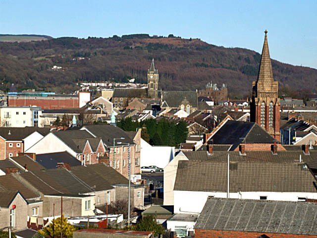
Photo: Robert Davies, CC BY-SA 2.0.
Neath is a town in Glamorgan in South Wales. Although it lacks any specific tourist attractions, its location near the stunning Swansea and Neath Valleys make it a convenient, if not overly inspiring, base for touring these places.
Wheatfield Housing Substation
- Type: Electrical substation
- Category: industry
- Location: Tonna, Neath Port Talbot, Wales, United Kingdom, Britain and Ireland, Europe
- View on OpenStreetMap
Latitude
51.67184° or 51° 40′ 19″ northLongitude
-3.78201° or 3° 46′ 55″ westOpen location code
9C3RM6C9+P5OpenStreetMap ID
node 13298121355
This page is based on OpenStreetMap, Wikidata, and Wikimedia Commons.
We’d love your help improving our open data sources. Thank you for contributing.
Satellite Map
Discover Wheatfield Housing Substation from above in high-definition satellite imagery.
Notable Places Nearby
Highlights include Tyn-yr-Heol Lock and Memorial Ground.
Nearby Places
Explore places such as Henfaes Allotments and Aberdulais Pump.Sta Substation.
Wales: Must-Visit Destinations
Delve into Cardiff, Swansea, Llanfairpwllgwyngyll, and Newport.
Curious Electrical Substations to Discover
Uncover intriguing electrical substations from every corner of the globe.
About Mapcarta. Data © OpenStreetMap contributors and available under the Open Database License". Text is available under the CC BY-SA 4.0 license, except for photos, directions, and the map. Photo: fionamcallisterphotography, CC BY 2.0.