The Silver Platter
The Silver Platter is a restaurant in West Coast Division, Gambia. The Silver Platter is situated nearby to the pitch Qcity Football Field, as well as near the grassland Minipark.| Tap on a place to explore it |
Places of Interest Nearby
Highlights include Bijilo Forest Park and Sir Dawda Kairaba Jawara International Conference Center.
Bijilo Forest Park
Park

Photo: Atamari, CC BY-SA 3.0.
Bijilo Forest Park, often known as Monkey Park, is a forest park in the Gambia, lying in the coastal zone about 11 km west of Banjul the Kombo Saint Mary District. Bijilo Forest Park is situated 2½ km north of The Silver Platter.
Sir Dawda Kairaba Jawara International Conference Center
Convention center
Sir Dawda Kairaba Jawara International Conference Center is a 14,000-square-metre conference center in The Gambia, located in Kombo North/Saint Mary. The project began in 2017 and inaugurated in January 2020. Sir Dawda Kairaba Jawara International Conference Center is situated 3 km north of The Silver Platter.
Salagi Forest Park
Forest
Salagi Forest Park is a forest park in the Gambia. Established on January 1, 1954, it covers 262 hectares. It is located in the west of the country, at an altitude of 26 meters. Salagi Forest Park is situated 3½ km southeast of The Silver Platter.
Places in the Area
Nearby places include Sukuta and Kololi.
Sukuta
Town
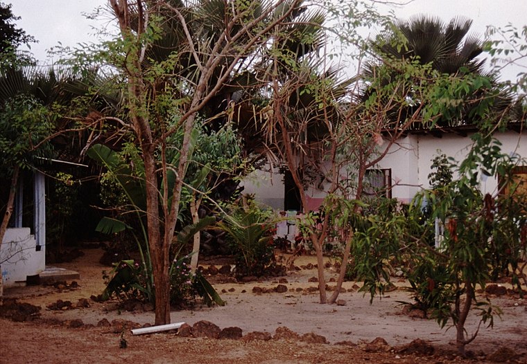
Photo: Atamari, CC BY-SA 2.5.
Sukuta is a town located in the Western Division of the Gambia. It had a population of 16,667 as of the 1993 census. Sukuta is situated 2½ km east of The Silver Platter.
Kololi
Suburb

Photo: Atamari, CC BY-SA 2.5.
Kololi is a resort town on the shore of the Atlantic Ocean that is located near Serrekunda, The Gambia. It is surrounded by the Bijilo Forest. The primary hotels are located on "The Strip" which is a short road leading to the beach and the hotels of Senegambia and the Kairaba. Kololi is situated 4 km northeast of The Silver Platter.
Brufut
Brufut is a town located in the Western Division of the Gambia. The town of Brufut is situated a couple of kilometres inland from the coastal road, but the name Brufut is applied to an area extending from around the town, out to the coast.The Silver Platter
- Type: Restaurant
- Category: food
- Location: West Coast Division, Gambia, West Africa, Africa
- View on OpenStreetMap
Latitude
13.40898° or 13° 24′ 32″ northLongitude
-16.73033° or 16° 43′ 49″ westOpen location code
7C55C759+HVOpenStreetMap ID
node 13308096409OpenStreetMap feature
amenity=restaurant
This page is based on OpenStreetMap, Wikidata, and Wikimedia Commons.
We’d love your help improving our open data sources. Thank you for contributing.
Satellite Map
Discover The Silver Platter from above in high-definition satellite imagery.
Notable Places Nearby
Highlights include Qcity Football Field and Minipark.
Nearby Places
Explore places such as Shree Ram Mini Market and NAWEC BRUSUBI.
Gambia: Must-Visit Destinations
Delve into Banjul, Serekunda, Kunta Kinteh Island, and Brikama.
Curious Restaurants to Discover
Uncover intriguing restaurants from every corner of the globe.
About Mapcarta. Data © OpenStreetMap contributors and available under the Open Database License". Text is available under the CC BY-SA 4.0 license, except for photos, directions, and the map. Photo: mishimoto, CC BY 2.0.