AlpsGo Station Hotel Steineggerhof
AlpsGo Station Hotel Steineggerhof is in Karneid, South Tyrol, Trentino-Alto Adige, and is located on Bühlweg - Via Bühl. AlpsGo Station Hotel Steineggerhof is situated nearby to the swimming pool Hallenbad Sonnleiten Dolomiten Residence, as well as near the scenic viewpoint Psosser Bühl.| Tap on a place to explore it |
- Email: hello@alpsgo.it
- Type: Carsharing
- Address: Bühlweg - Via Bühl 14, Karneid - Cornedo all’Isarco, 39053
Places of Interest Nearby
Highlights include Castle Steinegg and Saint John the Baptist church.
Castle Steinegg
Castle

Photo: Syrio, CC BY-SA 4.0.
Castle Steinegg is situated 1 km northwest of AlpsGo Station Hotel Steineggerhof.
Saint John the Baptist church
Church

Photo: Moroder, CC BY-SA 3.0.
Saint John the Baptist church is situated 2 km northeast of AlpsGo Station Hotel Steineggerhof.
Prösels Castle

Photo: Wikimedia, CC BY-SA 3.0.
Prösels Castle is a castle in the Gothic style which stands on the high plain below the Schlern mountain, in South Tyrol. Prösels is a location within the municipal boundaries of the commune of Völs am Schlern. Prösels Castle is situated 3½ km northeast of AlpsGo Station Hotel Steineggerhof.
Places in the Area
Nearby places include Steinegg and Blumau.


Unterinn
Village
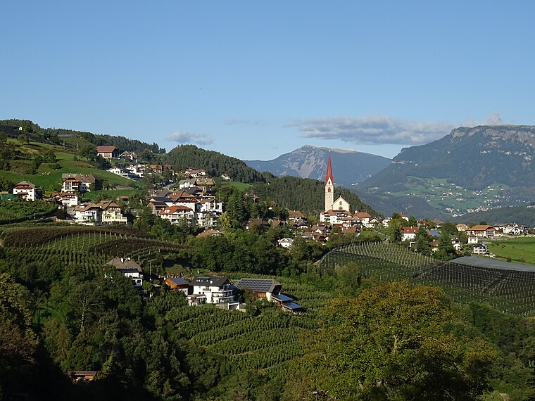
Photo: Syrio, CC BY-SA 4.0.
Unterinn is a village, which is situated 3½ km northwest of AlpsGo Station Hotel Steineggerhof.
AlpsGo Station Hotel Steineggerhof
- Category: transportation
- Location: Karneid, South Tyrol, Trentino-Alto Adige, Northeast Italy, Italy, Europe
- View on OpenStreetMap
Latitude
46.48227° or 46° 28′ 56″ northLongitude
11.46082° or 11° 27′ 39″ eastOperator
AlpsGo GmbHOpen location code
8FRHFFJ6+W8OpenStreetMap ID
node 13316616913OpenStreetMap feature
amenity=car_sharing
This page is based on OpenStreetMap, Wikidata, and Wikimedia Commons.
We’d love your help improving our open data sources. Thank you for contributing.
Satellite Map
Discover AlpsGo Station Hotel Steineggerhof from above in high-definition satellite imagery.
In Other Languages
From German to Italian—“AlpsGo Station Hotel Steineggerhof” goes by many names.
- German: “AlpsGo Station Hotel Steineggerhof Steinegg”
- Italian: “Stazione AlpsGo Hotel Steineggerhof Collepietra”
Notable Places Nearby
Highlights include Hallenbad Sonnleiten Dolomiten Residence and Psosser Bühl.
Nearby Places
Explore places such as Elektro-Ladestation and Steineggerhof.
South Tyrol: Must-Visit Destinations
Delve into Bolzano, Brixen, Merano, and Bruneck.
Curious Places to Discover
Uncover intriguing places from every corner of the globe.
About Mapcarta. Data © OpenStreetMap contributors and available under the Open Database License". Text is available under the CC BY-SA 4.0 license, except for photos, directions, and the map. Photo: Moroder, CC BY-SA 3.0.