Woodpecker Point Day Use Area
Woodpecker Point Day Use Area is a picnic site in Pierce, Washington. Woodpecker Point Day Use Area is situated nearby to Memorial Trailhead, as well as near the village Elbe.| Tap on a place to explore it |
Places in the Area
Nearby places include Elbe and Mineral.
Elbe
Village
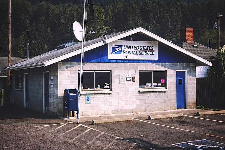
Photo: Senapa, CC BY-SA 4.0.
Elbe is a census-designated place in Pierce County, Washington, United States. The population was 39 at the 2020 census.
Mineral
Hamlet

Photo: Senapa, CC BY-SA 4.0.
Mineral is an unincorporated community and census-designated place in Lewis County, Washington, on State Route 7 near the Pierce/Lewis county line. Mineral originally began as a logging camp and mining town. Mineral is situated 4½ miles south of Woodpecker Point Day Use Area.
Woodpecker Point Day Use Area
- Type: Picnic site
- Category: tourism
- Location: Pierce, Washington, Pacific Northwest, United States, North America
- View on OpenStreetMap
Latitude
46.78055° or 46° 46′ 50″ northLongitude
-122.20424° or 122° 12′ 15″ westOpen location code
84RVQQJW+68OpenStreetMap ID
node 13329001991OpenStreetMap feature
tourism=picnic_site
This page is based on OpenStreetMap, Wikidata, and Wikimedia Commons.
We’d love your help improving our open data sources. Thank you for contributing.
Satellite Map
Discover Woodpecker Point Day Use Area from above in high-definition satellite imagery.
Notable Places Nearby
Highlights include Memorial Trailhead and Rocky Point Beach.
Nearby Places
Explore places such as Memorial Trailhead and Elbe Supply.
Washington: Must-Visit Destinations
Delve into Seattle, Olympia, Tacoma, and Spokane.
Curious Picnic Sites to Discover
Uncover intriguing picnic sites from every corner of the globe.
About Mapcarta. Data © OpenStreetMap contributors and available under the Open Database License". Text is available under the CC BY-SA 4.0 license, except for photos, directions, and the map. Photo: Lumpytrout, CC BY-SA 3.0.