Scoica Land
Scoica Land is a bus stop in Oraş Nãvodari, Constanța County. Scoica Land is situated nearby to the park Parcul Îndrăgostiților (Phoenicia), as well as near the village Mamaia-Sat.| Tap on a place to explore it |
Places in the Area
Nearby places include Mamaia-Sat and Năvodari.
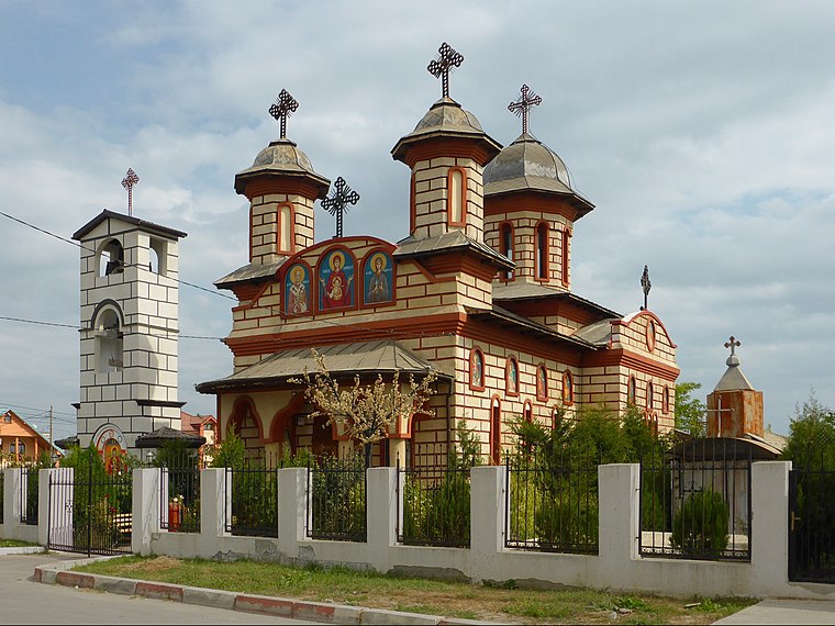
Năvodari
Town

Photo: Aisano, CC BY-SA 3.0.
Năvodari is a town in Constanța County, region of Northern Dobruja, Romania, with a population of 34,398 as of 2021. The town formally includes a territorially distinct community, Social Group Peninsula, and administers the neighbouring village of Mamaia-Sat. Năvodari is situated 4½ km north of Scoica Land.
Ovidiu
Town

Photo: Andrei Stroe, CC BY-SA 3.0.
Ovidiu is a town situated a few kilometres north of Constanța in Constanța County, Northern Dobruja, Romania. Ovidiu is quite small, with a population of 13,968 as of 2021, and many wealthy inhabitants of Constanța retire there. Ovidiu is situated 5 km southwest of Scoica Land.
Scoica Land
- Type: Bus stop
- Category: transportation
- Location: Oraş Nãvodari, Constanța County, Romania, Balkans, Europe
- View on OpenStreetMap
Latitude
44.28038° or 44° 16′ 49″ northLongitude
28.61752° or 28° 37′ 3″ eastNetwork
Transport Public NăvodariOpen location code
8GPC7JJ9+52OpenStreetMap ID
node 13333759066OpenStreetMap feature
highway=bus_stopOpenStreetMap feature
public_transport=platform
This page is based on OpenStreetMap, Wikidata, and Wikimedia Commons.
We’d love your help improving our open data sources. Thank you for contributing.
Satellite Map
Discover Scoica Land from above in high-definition satellite imagery.
Notable Places Nearby
Highlights include Parcul Îndrăgostiților (Phoenicia) and Batalionul 110 Comunicații și Informatică.
Nearby Places
Explore places such as Phoenicia and La Scoica Land.
Romania: Must-Visit Destinations
Delve into Bucharest, Cluj-Napoca, Timișoara, and Iași.
Curious Bus Stops to Discover
Uncover intriguing bus stops from every corner of the globe.
About Mapcarta. Data © OpenStreetMap contributors and available under the Open Database License". Text is available under the CC BY-SA 4.0 license, except for photos, directions, and the map. Photo: El bes, CC BY 3.0.