Russel Quay
Russel Quay is a bay in Arne, Purbeck District, England.| Tap on a place to explore it |
Places of Interest
Highlights include Brownsea Island and Poole Museum.
Brownsea Island
Island
Brownsea Island is the largest of the islands in Poole Harbour, in the county of Dorset, England. The island is owned by the National Trust, with the northern half managed by the Dorset Wildlife Trust.
Poole Museum
Museum
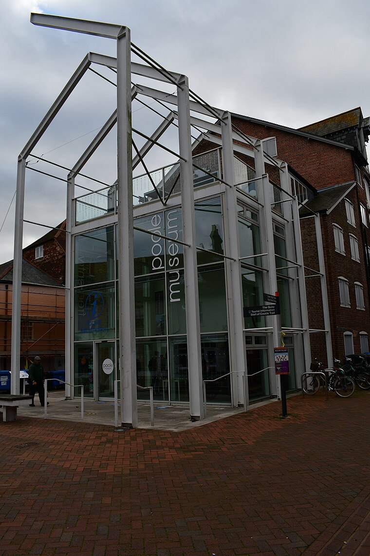 Poole Museum is a maritime museum, gallery and cultural centre, situated on the Lower High Street in the Old Town area of Poole, Dorset, and is owned by Bournemouth, Christchurch and Poole Council.
Holton Heath railway station
Railway station

Photo: Notjustamemory, CC BY-SA 4.0.
Holton Heath railway station serves the area of Holton Heath in Wareham St Martin, Dorset, England. It is 118 miles 61 chains down the line from London Waterloo.
Places in the Area
Nearby places include Poole and Wareham.
Poole

Photo: AlasdairW, CC BY-SA 3.0.
Poole is a coastal town and seaport in Dorset, on the south coast of England. Poole is a tourist resort, attracting visitors with its large natural harbour, history, the Lighthouse arts centre and Blue Flag beaches.
Wareham
 Wareham is a romantic and unforgettable old town in Dorset, UK. It lives within its earthen walls, with ramparts north, east and west and a river to the south.
Corfe Castle

Photo: Traveler100, CC BY-SA 4.0.
Corfe Castle is a village in Dorset and the site of a ruined castle of the same name. The medieval castle, built by William the Conqueror, dates to the 11th century and commands a gap in the Purbeck Hills on the route between Wareham and Swanage.
Russel Quay
- Type: Bay
- Category: body of water
- Location: Arne, Purbeck District, Dorset, West Country, England, United Kingdom, Britain and Ireland, Europe
- View on OpenStreetMap
Latitude
50.7061° or 50° 42′ 22″ northLongitude
-2.0427° or 2° 2′ 34″ westOpen location code
9C2VPX44+CWOpenStreetMap ID
node 13339435519OpenStreetMap feature
natural=bay
This page is based on OpenStreetMap, Wikidata, and Wikimedia Commons.
We’d love your help improving our open data sources. Thank you for contributing.
Satellite Map
Discover Russel Quay from above in high-definition satellite imagery.
Localities in the Area
Explore places such as Arne and Lake.
Notable Places Nearby
Highlights include Imerys Minerals and Froxen Copse.
Dorset: Must-Visit Destinations
Delve into Bournemouth, Poole, Dorchester, and Weymouth.
Curious Bays to Discover
Uncover intriguing bays from every corner of the globe.
About Mapcarta. Data © OpenStreetMap contributors and available under the Open Database License". Text is available under the CC BY-SA 4.0 license, except for photos, directions, and the map. Photo: Diliff, CC BY-SA 3.0.