Psyhiatrie Dellwo
Psyhiatrie Dellwo is a doctor’s office in Landau in der Pfalz, Palatinate, Rhineland-Palatinate. Psyhiatrie Dellwo is situated nearby to the health club Easyfitness, as well as near the park Pfarrgarten.| Tap on a place to explore it |
Places of Interest Nearby
Highlights include Reptilium Terrarien- und Wüstenzoo Landau and Landau Hauptbahnhof.
Reptilium Terrarien- und Wüstenzoo Landau
Zoo

Photo: Cymothoa exigua, CC BY-SA 3.0.
Reptilium Terrarien- und Wüstenzoo Landau is situated 610 metres west of Psyhiatrie Dellwo.
Landau Hauptbahnhof
Railway station
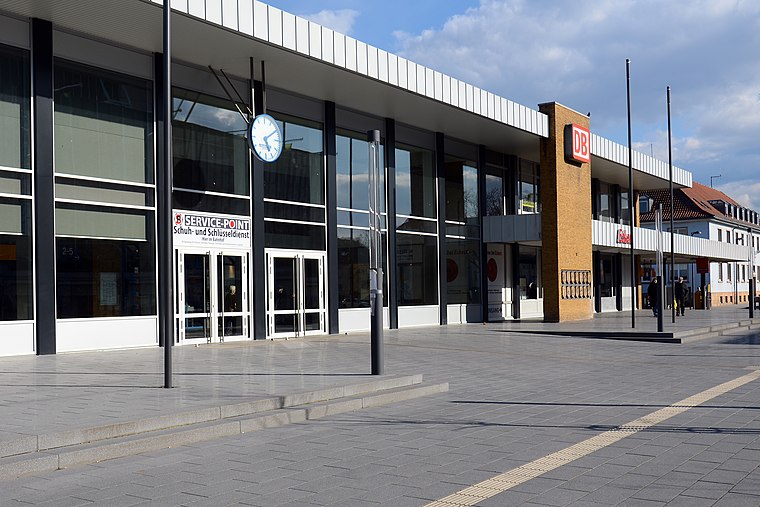
Photo: BlueBreezeWiki, CC BY-SA 3.0.
Landau Hauptbahnhof is the centre of public transport in the city of Landau in the German state of Rhineland-Palatinate. Landau Hauptbahnhof is situated 1 km northwest of Psyhiatrie Dellwo.
Jugendstil-Festhalle
Theater building

Photo: Immanuel Giel, CC BY-SA 3.0.
Jugendstil-Festhalle is a theater building, which is situated 1¼ km west of Psyhiatrie Dellwo.
Places in the Area
Nearby places include Impflingen and Bornheim.
Impflingen
Village

Photo: Immanuel Giel, CC BY-SA 4.0.
Impflingen is a municipality in Südliche Weinstraße district, in Rhineland-Palatinate, western Germany. Impflingen is situated 4 km southwest of Psyhiatrie Dellwo.
Bornheim
Village

Photo: Mundartpoet, CC BY-SA 3.0.
Bornheim is a municipality in the Südliche Weinstraße district, in Rhineland-Palatinate, Germany. Bornheim is situated 4 km northeast of Psyhiatrie Dellwo.
Offenbach an der Queich
Village

Photo: Gaskopft, CC BY-SA 3.0.
Offenbach an der Queich is a municipality in the Südliche Weinstraße district, in Rhineland-Palatinate, Germany. It is situated on the river Queich, approx. Offenbach an der Queich is situated 4 km east of Psyhiatrie Dellwo.
Psyhiatrie Dellwo
- Type: Doctor’s office
- Wheelchair access: yes
- Category: health care
- Location: Landau in der Pfalz, Palatinate, Rhineland-Palatinate, Germany, Central Europe, Europe
- View on OpenStreetMap
Latitude
49.19248° or 49° 11′ 33″ northLongitude
8.13831° or 8° 8′ 18″ eastOpen location code
8FXC54RQ+X8OpenStreetMap ID
node 13355285257OpenStreetMap feature
amenity=doctorsOpenStreetMap feature
healthcare=doctorOpenStreetMap attribute
wheelchair=yes
This page is based on OpenStreetMap, Wikidata, and Wikimedia Commons.
We’d love your help improving our open data sources. Thank you for contributing.
Satellite Map
Discover Psyhiatrie Dellwo from above in high-definition satellite imagery.
Notable Places Nearby
Highlights include Easyfitness and Pfarrgarten.
Nearby Places
Explore places such as Psychiatrie Pfaff and Kibderpsychiatrie Nowak.
Palatinate: Must-Visit Destinations
Delve into Ludwigshafen, Speyer, Kaiserslautern, and Pirmasens.
Curious Doctor’s Offices to Discover
Uncover intriguing doctor’s offices from every corner of the globe.
About Mapcarta. Data © OpenStreetMap contributors and available under the Open Database License". Text is available under the CC BY-SA 4.0 license, except for photos, directions, and the map. Photo: Anna16, CC BY-SA 4.0.