Aussichtspunkt Geyersley
Aussichtspunkt Geyersley is a locality in Kordel, Trier-Saarburg, Rhineland-Palatinate. Aussichtspunkt Geyersley is situated nearby to the locality Klausenhöhle, as well as near Pützlöcher.| Tap on a place to explore it |
Places of Interest
Highlights include Ramstein Castle and Churches in Kordel.
Ramstein Castle
Castle

Photo: Brbbl, CC BY-SA 3.0.
The ruins of Ramstein Castle stand on a 182-metre-high, Bunter sandstone rock on the edge of the Meulenwald forest in the lower, steep-sided Kyll valley near Kordel in the German state of Rhineland-Palatinate.
Churches in Kordel
Church
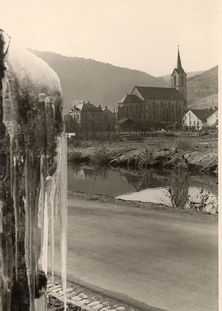
Photo: CTHOE, CC BY-SA 3.0.
Churches in Kordel is situated 2½ km northwest of Aussichtspunkt Geyersley.
Protestant Church (Trier-Ehrang)
Church

Photo: Wikimedia, CC BY-SA 4.0.
Protestant Church (Trier-Ehrang) is situated 3 km southeast of Aussichtspunkt Geyersley.
Places in the Area
Nearby places include Newel and Kenn.
Newel
Village

Photo: Johnny Chicago, CC BY-SA 3.0.
Newel is a municipality in the Trier-Saarburg district, in Rhineland-Palatinate, Germany. Newel is situated 5 km west of Aussichtspunkt Geyersley.
Kenn
Village

Photo: Wfirll, Public domain.
Kenn is a municipality situated on the right bank of the Moselle River immediately adjacent to the city of Trier in the western region of Rhineland-Palatinate, near the international border with Luxembourg. Kenn is situated 5 km east of Aussichtspunkt Geyersley.
Ruwer/Eitelsbach
Suburb
Ruwer/Eitelsbach is a quarter of Trier, Germany. Eitelsbach was a small village at the Ruwer in Germany's Mosel region and famous for the wine estate Karthäuserhof and the associated vineyard Karthäuserhofberg, which means "Carthusians' Hill". Ruwer/Eitelsbach is situated 6 km southeast of Aussichtspunkt Geyersley.
Aussichtspunkt Geyersley
- Type: Locality
- Categories: rock, tourism, and scenic viewpoint
- Location: Kordel, Trier-Saarburg, Rhineland-Palatinate, Germany, Central Europe, Europe
- View on OpenStreetMap
Latitude
49.8189° or 49° 49′ 8″ northLongitude
6.65004° or 6° 39′ 0″ eastOpen location code
8FX8RM92+H2OpenStreetMap ID
node 1337332046OpenStreetMap feature
natural=rockOpenStreetMap feature
place=localityOpenStreetMap feature
tourism=viewpoint
This page is based on OpenStreetMap, Wikidata, and Wikimedia Commons.
We’d love your help improving our open data sources. Thank you for contributing.
Satellite Map
Discover Aussichtspunkt Geyersley from above in high-definition satellite imagery.
Localities in the Area
Explore places such as Klausenhöhle and Pützlöcher.
Notable Places Nearby
Highlights include Geyersley and Elterley.
Rhineland-Palatinate: Must-Visit Destinations
Delve into Mainz, Trier, Koblenz, and Worms.
Curious Localities to Discover
Uncover intriguing localities from every corner of the globe.
About Mapcarta. Data © OpenStreetMap contributors and available under the Open Database License". Text is available under the CC BY-SA 4.0 license, except for photos, directions, and the map. Photo: Traveler100, CC BY-SA 3.0.