Brockway Hill
Brockway Hill is a peak in Charter Township of Garfield, Grand Traverse, Michigan and has an elevation of 1,014 feet. Brockway Hill is situated nearby to the neighborhood Grand Traverse Commons, as well as near the hamlet Brookside.| Tap on a place to explore it |
Places of Interest
Highlights include Munson Medical Center and Thirlby Field.
Munson Medical Center
Hospital

Photo: Gpwitteveen, CC BY-SA 3.0.
Munson Medical Center is a 442-bed regional referral hospital in Traverse City, Michigan Its primary service area includes Antrim, Benzie, Grand Traverse, Kalkaska, and Leelanau counties.
Thirlby Field
Stadium
Thirlby Field is a 7,000-seat football stadium located in Traverse City, Michigan. It was built in 1934 on a site where football has been played since 1896 by the Traverse City Trojans.

Places in the Area
Nearby places include Traverse City and Greilickville.
Traverse City

Photo: Andrew Jameson, CC BY-SA 3.0.
Traverse City is a scenic city on the Grand Traverse Bay of Lake Michigan. Directly north of Traverse City, the Old Mission Peninsula splits the Grand Traverse Bay in two, with a beautiful windswept landscape and great views of the bay on either side.
Greilickville
Village

Photo: Royalbroil, CC BY-SA 3.0.
Greilickville is an unincorporated community and census-designated place in Leelanau County in the U.S. state of Michigan. At the 2020 census, the population was 1,634, up from 1,530 at the 2010 census.
Central Neighborhood Historic District
Quarter
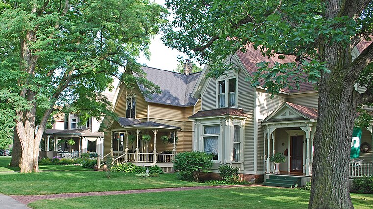
Photo: Andrew Jameson, CC BY-SA 3.0.
The Central Neighborhood Historic District is a residential historic district, roughly bounded by 5th, Union, 9th, and Division Streets in Traverse City, Michigan.
Brockway Hill
- Type: Peak with an elevation of 1,014 feet
- Category: landform
- Location: Charter Township of Garfield, Grand Traverse, Michigan, Midwest, United States, North America
- View on OpenStreetMap
Latitude
44.7539° or 44° 45′ 14″ northLongitude
-85.6654° or 85° 39′ 56″ westElevation
1,014 feet (309 metres)Open location code
86PPQ83M+HROpenStreetMap ID
node 13418684703OpenStreetMap feature
natural=peak
This page is based on OpenStreetMap, Wikidata, and Wikimedia Commons.
We’d love your help improving our open data sources. Thank you for contributing.
Satellite Map
Discover Brockway Hill from above in high-definition satellite imagery.
Localities in the Area
Explore places such as Grand Traverse Commons and Brookside.
Notable Places Nearby
Highlights include Cherry Lane Overlook and Harbor Light Christian Center.
Michigan: Must-Visit Destinations
Delve into Detroit, Ann Arbor, Lansing, and Grand Rapids.
Curious Peaks to Discover
Uncover intriguing peaks from every corner of the globe.
About Mapcarta. Data © OpenStreetMap contributors and available under the Open Database License". Text is available under the CC BY-SA 4.0 license, except for photos, directions, and the map. Photo: Wikimedia, CC0.