Lo Spazioporto Santorso
Lo Spazioporto Santorso is a community center in Santorso, Vicenza, Veneto which is located on Via Santa Maria. Lo Spazioporto Santorso is situated nearby to the pitch campo da calcio libero, as well as near Campo da calcio Orsiana.| Tap on a place to explore it |
- Opening hours:
Friday: 7:45 PM—10:00 PM
Sunday: 3:00 PM—6:00 PM
public holidays: closed - Type: Community center
- Address: Via Santa Maria 30, Santorso, 36014
Places of Interest Nearby
Highlights include Villa Rossi and Monte Summano.
Villa Rossi
Museum

Photo: Syrio, CC BY-SA 4.0.
Villa Rossi is a museum, which is situated 240 metres northeast of Lo Spazioporto Santorso.
Monte Summano
Peak

Photo: Twice25, CC BY-SA 3.0.
Monte Summano is a mountain in the Veneto region, Italy. It has an elevation of 1,296 metres. Monte Summano is situated 2½ km north of Lo Spazioporto Santorso.
PalaCampagnola
Sports venue

Photo: Lucafoxy, CC BY-SA 3.0.
PalaCampagnola is a sports venue, which is situated 2½ km southwest of Lo Spazioporto Santorso.
Places in the Area
Nearby places include Tretto and Schio.
Tretto
Suburb
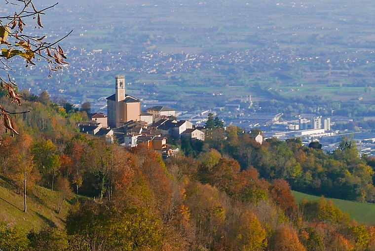
Photo: Claudio Gioseffi, CC BY-SA 4.0.
Tretto is a suburb, which is situated 4 km northwest of Lo Spazioporto Santorso.
Schio
Town

Photo: Spadedrabbit, CC BY-SA 3.0.
Schio is a town and comune in the province of Vicenza situated north of Vicenza and east of the Lake Garda. It is surrounded by the Little Dolomites and Mount Pasubio. Schio is situated 4 km southwest of Lo Spazioporto Santorso.
Magrè
Suburb

Photo: Open888, CC BY-SA 3.0.
Magrè is a suburb, which is situated 5 km southwest of Lo Spazioporto Santorso.
Lo Spazioporto Santorso
- Location: Santorso, Vicenza, Veneto, Northeast Italy, Italy, Europe
- View on OpenStreetMap
Latitude
45.73647° or 45° 44′ 11″ northLongitude
11.39169° or 11° 23′ 30″ eastOpen location code
8FQHP9PR+HMOpenStreetMap ID
node 13444996785OpenStreetMap feature
amenity=community_centre
This page is based on OpenStreetMap, Wikidata, and Wikimedia Commons.
We’d love your help improving our open data sources. Thank you for contributing.
Satellite Map
Discover Lo Spazioporto Santorso from above in high-definition satellite imagery.
Notable Places Nearby
Highlights include campo da calcio libero and Campo da calcio Orsiana.
Nearby Places
Explore places such as Dall’Antonia and Bocciofila.
Curious Community Centers to Discover
Uncover intriguing community centers from every corner of the globe.
About Mapcarta. Data © OpenStreetMap contributors and available under the Open Database License". Text is available under the CC BY-SA 4.0 license, except for photos, directions, and the map. Photo: Wikimedia, CC0.