Camping Club de Pescadores y Náutica de San Pedro
Camping Club de Pescadores y Náutica de San Pedro is a campsite in San Pedro Partido, Buenos Aires which is located on Avenida España. Camping Club de Pescadores y Náutica de San Pedro is situated nearby to the park nuevo paseo del boulevard 2, as well as near Parque Municipal de la Barranca.| Tap on a place to explore it |
- Email: pescadoressp@redsp.com.ar
- Type: Campsite
- Address: 700 Avenida España, San Pedro, B2930
Places of Interest Nearby
Highlights include USS Cahuilla and San Pedro train station.
USS Cahuilla
Museum

Photo: CHUCAO, CC BY-SA 3.0.
USS Cahuilla was an Abnaki class fleet tug in the service of the United States Navy during World War II. In 1961 she was sold to the Argentine Navy as ARA Irigoyen where she served until 2009 when she became a Museum ship. USS Cahuilla is situated 1½ km northwest of Camping Club de Pescadores y Náutica de San Pedro.
San Pedro train station
Railway station
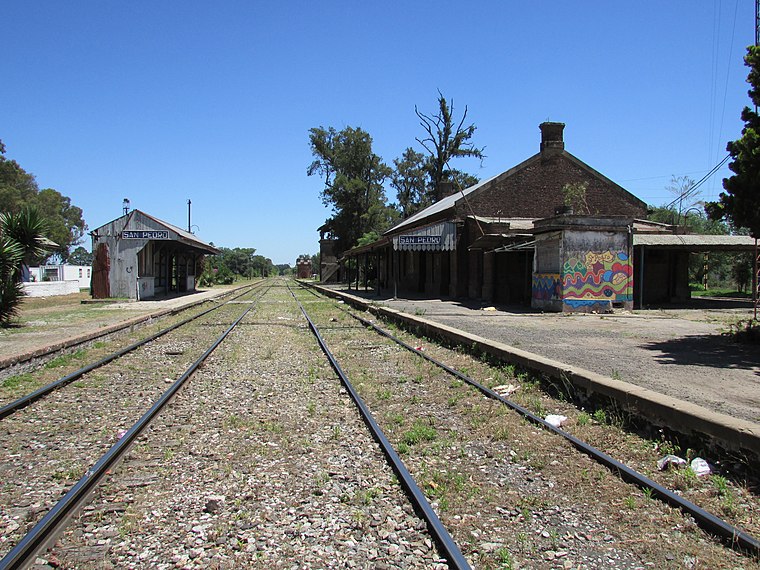
Photo: Alpertron, CC BY-SA 4.0.
San Pedro train station is a railway station, which is situated 3½ km southwest of Camping Club de Pescadores y Náutica de San Pedro.
Places in the Area
Nearby places include San Pedro.
San Pedro
Town

Photo: Pablozeta, CC BY-SA 3.0.
San Pedro, full name Rincón de San Pedro Dávila de los Arrecifes, is a city and port in the Province of Buenos Aires, Argentina, beside the Paraná River.
Camping Club de Pescadores y Náutica de San Pedro
- Categories: tourism and camping
- Location: San Pedro Partido, Buenos Aires, Pampas, Argentina, South America
- View on OpenStreetMap
Latitude
-33.67724° or 33° 40′ 38″ southLongitude
-59.65415° or 59° 39′ 15″ westOperator
Club de Pescadores y Náutica de San PedroOpen location code
48R288FW+48OpenStreetMap ID
node 1376354083OpenStreetMap feature
tourism=camp_site
This page is based on OpenStreetMap, Wikidata, and Wikimedia Commons.
We’d love your help improving our open data sources. Thank you for contributing.
Satellite Map
Discover Camping Club de Pescadores y Náutica de San Pedro from above in high-definition satellite imagery.
Notable Places Nearby
Highlights include Club de Pescadores y Náutica de San Pedro and nuevo paseo del boulevard 2.
Nearby Places
Explore places such as Tiro Federal and Cabañas.
Buenos Aires: Must-Visit Destinations
Delve into Buenos Aires, La Plata, Mar del Plata, and Centro.
Curious Campsites to Discover
Uncover intriguing campsites from every corner of the globe.
About Mapcarta. Data © OpenStreetMap contributors and available under the Open Database License". Text is available under the CC BY-SA 4.0 license, except for photos, directions, and the map. Photo: Mbusin, CC BY-SA 4.0.