Chaville Tir à l’arc
Chaville Tir à l’arc is a pitch in Chaville, Arrondissement of Boulogne-Billancourt, Île-de-France. Chaville Tir à l’arc is situated nearby to the health club Basic-Fit, as well as near the park Square Danton.| Tap on a place to explore it |
Places of Interest Nearby
Highlights include Gare de Chaville-Rive-Droite and Pagode Chua Tinh Tam.
Gare de Chaville-Rive-Droite
Railway station

Photo: Geralix, CC BY-SA 3.0.
Gare de Chaville-Rive-Droite is a railway station, which is situated 1 km southwest of Chaville Tir à l’arc.
Pagode Chua Tinh Tam
Buddhist temple

Photo: Popolon, CC BY-SA 3.0.
Pagode Chua Tinh Tam is a Buddhist temple, which is situated 1 km northeast of Chaville Tir à l’arc.
Maison des Jardies
Museum

Photo: Tcherome, Public domain.
Maison des Jardies is a museum, which is situated 1¼ km north of Chaville Tir à l’arc.
Places in the Area
Nearby places include Chaville and Sèvres.
Chaville
Town

Photo: Chabe01, CC BY-SA 4.0.
Chaville is a commune in the Hauts-de-Seine department and Île-de-France region of north-central France. It lies some 12 kilometres from the centre of Paris in the south-western suburbs of the French capital.
Sèvres
Town

Photo: Copyleft, CC BY-SA 3.0.
Sèvres is a French commune in the southwestern suburbs of Paris. It is located 9.9 kilometres from the centre of Paris, in the Hauts-de-Seine department in the Île-de-France region.
Ville-d’Avray
Town
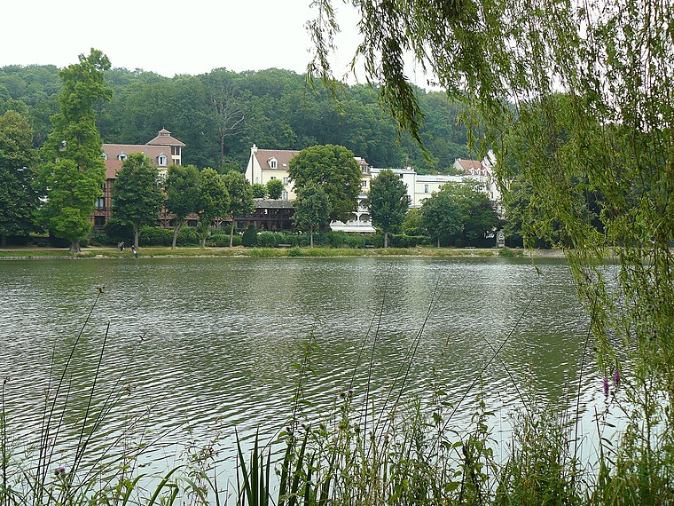
Photo: Wikimedia, Public domain.
Ville-d'Avray is a commune in the western suburbs of Paris, France. It is located 11.9 km from the centre of Paris. The commune is part of the arrondissement of Boulogne-Billancourt in the Hauts-de-Seine department.
Chaville Tir à l’arc
- Type: Pitch
- Categories: archery, recreation area, and sports location
- Location: Chaville, Arrondissement of Boulogne-Billancourt, Hauts-de-Seine, Île-de-France, France, Europe
- View on OpenStreetMap
Latitude
48.81666° or 48° 49′ northLongitude
2.19865° or 2° 11′ 55″ eastOpen location code
8FW4R58X+MFOpenStreetMap ID
node 1454457832OpenStreetMap feature
leisure=pitchOpenStreetMap feature
sport=archery
This page is based on OpenStreetMap, Wikidata, and Wikimedia Commons.
We’d love your help improving our open data sources. Thank you for contributing.
Satellite Map
Discover Chaville Tir à l’arc from above in high-definition satellite imagery.
Notable Places Nearby
Highlights include Basic-Fit and Square Danton.
Nearby Places
Explore places such as École maternelle Myosotis and École élémentaire Ferdinand Buisson.
Île-de-France: Must-Visit Destinations
Delve into Paris, Versailles, Boulogne-Billancourt, and Paris Charles de Gaulle Airport.
Curious Pitches to Discover
Uncover intriguing pitches from every corner of the globe.
About Mapcarta. Data © OpenStreetMap contributors and available under the Open Database License". Text is available under the CC BY-SA 4.0 license, except for photos, directions, and the map. Photo: Clicsouris, CC BY-SA 2.5.