Cerro del Caño
Cerro del Caño is a neighborhood in Méntrida, Toledo, Castile-La Mancha. Cerro del Caño is situated nearby to the neighborhood Dehesa del Caño, as well as near Cerro Alto.| Tap on a place to explore it |
Places of Interest
Highlights include Iglesia de San Sebastián.
Iglesia de San Sebastián
Church

Photo: DANIELMA1993, CC BY-SA 4.0.
Iglesia de San Sebastián is a church.
Places in the Area
Nearby places include La Torre de Esteban Hambrán and Aldea del Fresno.
La Torre de Esteban Hambrán
Village

Photo: Malopez 21, CC BY-SA 4.0.
La Torre de Esteban Hambrán is a Spanish municipality in the province of Toledo in Castilla–La Mancha. La Torre de Esteban Hambrán is situated 7 km south of Cerro del Caño.
Aldea del Fresno
Village
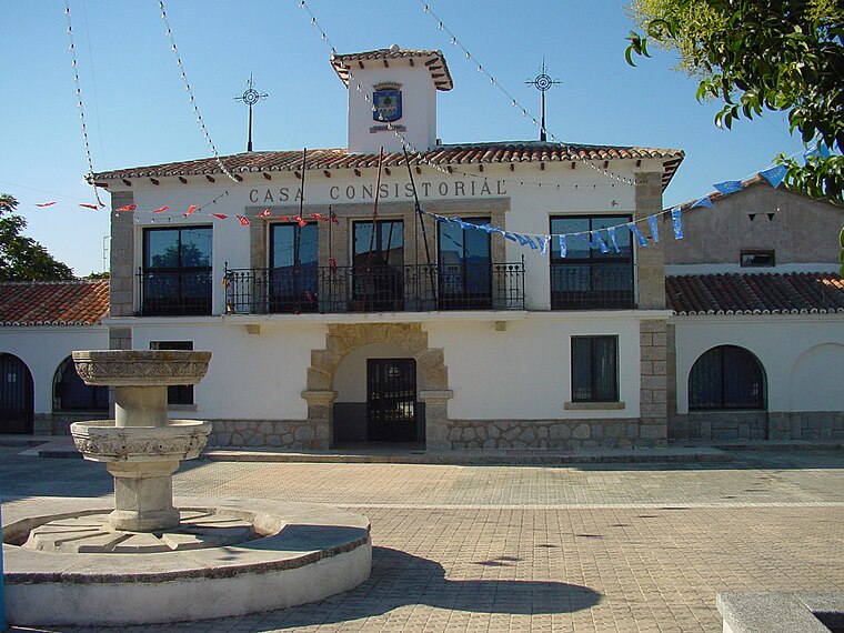
Photo: Wikimedia, CC BY 3.0 es.
Aldea del Fresno is a municipality of the autonomous community of the Community of Madrid in central Spain. Aldea del Fresno goes from north to south along the Alberche river. Aldea del Fresno is situated 10 km north of Cerro del Caño.
Cerro del Caño
- Type: Neighborhood
- Category: locality
- Location: Méntrida, Toledo, Castile-La Mancha, Central Spain, Spain, Iberia, Europe
- View on OpenStreetMap
Latitude
40.23185° or 40° 13′ 55″ northLongitude
-4.20109° or 4° 12′ 4″ westOpen location code
8CGQ6QJX+PHOpenStreetMap ID
node 1480356749OpenStreetMap feature
place=neighbourhood
This page is based on OpenStreetMap, Wikidata, and Wikimedia Commons.
We’d love your help improving our open data sources. Thank you for contributing.
Satellite Map
Discover Cerro del Caño from above in high-definition satellite imagery.
Places with the Same Name
Discover other places named “Cerro del Caño”.
Localities in the Area
Explore places such as Dehesa del Caño and Cerro Alto.
Notable Places Nearby
Highlights include Parque La Alameda and Piscina Municipal.
Castile-La Mancha: Must-Visit Destinations
Delve into Toledo, Albacete, Cuenca, and Ciudad Real.
Curious Neighborhoods to Discover
Uncover intriguing neighborhoods from every corner of the globe.
About Mapcarta. Data © OpenStreetMap contributors and available under the Open Database License". Text is available under the CC BY-SA 4.0 license, except for photos, directions, and the map. Photo: Diliff, CC BY-SA 3.0.