Era Healthcare
Era Healthcare is an office in Littlehampton, Arun District, England. Era Healthcare is situated nearby to The White Hart Public House, as well as near Littlehampton United Church.| Tap on a place to explore it |
Places of Interest Nearby
Highlights include Littlehampton railway station and The White Hart Public House.
Littlehampton railway station
Railway station

Photo: Hassocks5489, Public domain.
Littlehampton railway station is in Littlehampton in the county of West Sussex, England. The station and the trains serving it are operated by Southern. Littlehampton railway station is situated 760 feet northwest of Era Healthcare.

Littlehampton Friends Meeting House
Church

Photo: The Voice of Hassocks, CC0.
Littlehampton Friends Meeting House is a Religious Society of Friends place of worship in the town of Littlehampton, part of the Arun district of West Sussex, England. Littlehampton Friends Meeting House is situated 1,000 feet east of Era Healthcare.
Places in the Area
Nearby places include Wick and Rustington.
Wick
Hamlet

Photo: The Voice of Hassocks, CC0.
Wick is a suburb of Littlehampton in the Arun district of West Sussex, England. Originally a separate village, it now forms part of the built up area around the town and is on the A284 road 1 miles to the north of Littlehampton.
Rustington
Village
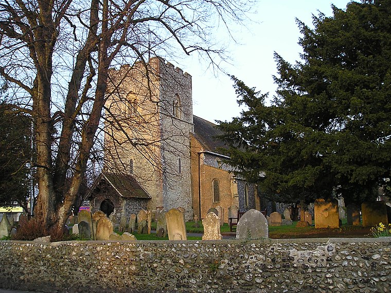
Photo: Dashers, Public domain.
Rustington is a village and civil parish in the Arun District of West Sussex. Rustington is approximately at the midpoint of the West Sussex coast and midway between Chichester and Brighton.
Lyminster
Village

Photo: Motacilla, CC BY-SA 3.0.
Lyminster is a village that is the main settlement of Lyminster and Crossbush civil parish, in the Arun District of West Sussex, England. It borders, to the south, Littlehampton, which has its town centre 2 miles away. Lyminster is situated 1½ miles north of Era Healthcare.
Era Healthcare
- Type: Employment agency
- Category: office
- Location: Littlehampton, Arun District, West Sussex, South East England, England, United Kingdom, Britain and Ireland, Europe
- View on OpenStreetMap
Latitude
50.80909° or 50° 48′ 33″ northLongitude
-0.54345° or 0° 32′ 36″ westOpen location code
9C2XRF54+JJOpenStreetMap ID
node 1494331865OpenStreetMap feature
office=employment_agency
This page is based on OpenStreetMap, Wikidata, and Wikimedia Commons.
We’d love your help improving our open data sources. Thank you for contributing.
Satellite Map
Discover Era Healthcare from above in high-definition satellite imagery.
Notable Places Nearby
Highlights include Littlehampton United Church and Littlehampton Post Office.
Nearby Places
Explore places such as Sussex news and Bargains Galore Sweet Surprise.
West Sussex: Must-Visit Destinations
Delve into Chichester, Crawley, Worthing, and Horsham.
Curious Places to Discover
Uncover intriguing places from every corner of the globe.
About Mapcarta. Data © OpenStreetMap contributors and available under the Open Database License". Text is available under the CC BY-SA 4.0 license, except for photos, directions, and the map. Photo: THOR, CC BY 2.0.