24th St/Jefferson
24th St/Jefferson is a railway station in Maricopa County, Arizona. 24th St/Jefferson is situated nearby to the railway station 24th St/Washington, as well as near Bower Park.| Tap on a place to explore it |
- Type: Railway station
- Also known as: “South 24th Street and East Jefferson Street”
- Wheelchair access: yes
Places of Interest Nearby
Highlights include Arizona State Prison Complex – Phoenix and Vicki A. Romero High School.
Arizona State Prison Complex – Phoenix
Prison
Arizona State Prison Complex – Phoenix is one of 13 prison facilities operated by the Arizona Department of Corrections. ASPC-Phoenix is located in Phoenix, Maricopa County, Arizona, which includes a minimum security unit near Globe, the Arizona Correctional Facility for Woman, and ASPC-Aspen. Arizona State Prison Complex – Phoenix is situated 2,400 feet northeast of 24th St/Jefferson.
Vicki A. Romero High School
School
Vicki A. Romero High School was a public charter high school in Phoenix, Arizona. It operated from 1998 until 2012, when renewal of its charter was declined. The site is now home to Wilson College Prep of the Phoenix Union High School District. Vicki A. Romero High School is situated 1 mile northeast of 24th St/Jefferson.
Celebrity Theatre
Event venue

Photo: Marine 69-71, CC BY-SA 3.0.
Celebrity Theatre is a theater in the round located in Phoenix, Arizona. Celebrity Theatre is situated 1 mile northeast of 24th St/Jefferson.
Places in the Area
Nearby places include Central City and Phoenix.
Central City
Suburb
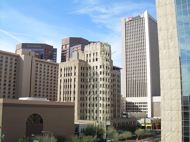
Photo: Jimmybeverage, Public domain.
Central City Village is the urban village of Phoenix, Arizona, that includes the downtown area of the city. As of 2010, it had a population of 58,161 residents.
Phoenix

Photo: DPPed, CC BY-SA 3.0.
Phoenix is the capital of the state of Arizona, the most populous city in the American Southwest. Warm and sunny winter weather have ensured a thriving tourism industry, and the city has become the region's primary political, cultural, economic, and transportation center.
Encanto
Suburb
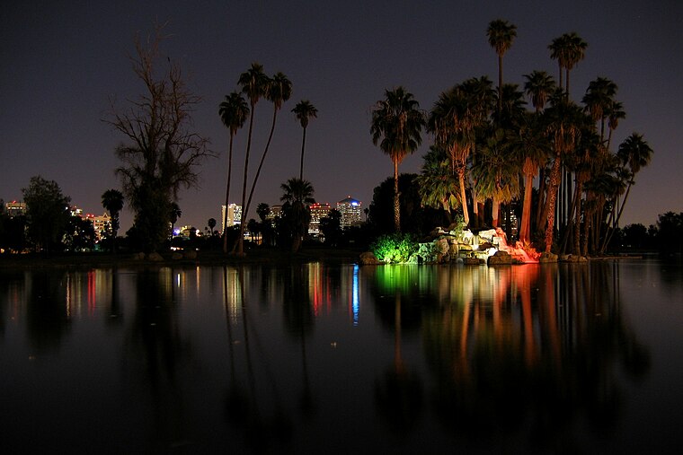
Photo: Jboeke, CC BY-SA 2.0.
Encanto Village is one of the 15 Urban villages that make up the City of Phoenix, in Arizona. The village, centered along Central Avenue, is home to the popular Midtown and Melrose Districts, as well as many historic neighborhoods, including Encanto, its namesake. Encanto is situated 3½ miles northwest of 24th St/Jefferson.
24th St/Jefferson
- Categories: station and transportation
- Location: Maricopa County, Arizona, Southwest, United States, North America
- View on OpenStreetMap
Latitude
33.44723° or 33° 26′ 50″ northLongitude
-112.02928° or 112° 1′ 45″ westOperator
Valley MetroNetwork
Valley MetroOpen location code
8559CXWC+V7OpenStreetMap ID
node 1498706858OpenStreetMap feature
public_transport=stationOpenStreetMap feature
railway=stationOpenStreetMap attribute
wheelchair=yes
This page is based on OpenStreetMap, Wikidata, and Wikimedia Commons.
We’d love your help improving our open data sources. Thank you for contributing.
Satellite Map
Discover 24th St/Jefferson from above in high-definition satellite imagery.
Notable Places Nearby
Highlights include 24th St/Washington and Bower Park.
Nearby Places
Explore places such as 24th St/Jefferson and 24th St/Washington.
Arizona: Must-Visit Destinations
Delve into Phoenix, Tucson, Mesa, and Flagstaff.
Curious Railway Stations to Discover
Uncover intriguing railway stations from every corner of the globe.
About Mapcarta. Data © OpenStreetMap contributors and available under the Open Database License". Text is available under the CC BY-SA 4.0 license, except for photos, directions, and the map. Photo: Tobi 87, CC BY-SA 3.0.