Bildfichte
Bildfichte is a wayside shrine in Hofamt Priel, Melk District, Lower Austria. Bildfichte is situated nearby to the village Persenbeug.| Tap on a place to explore it |
Places of Interest Nearby
Highlights include Chapel Persenbeug and Brunnen mit Prangermandl-Statue.
Chapel Persenbeug
Church

Photo: Bwag, CC BY-SA 4.0.
Chapel Persenbeug is a church, which is situated 2½ km southeast of Bildfichte.
Brunnen mit Prangermandl-Statue
Fountain

Photo: Herzi Pinki, CC BY-SA 4.0.
Brunnen mit Prangermandl-Statue is a fountain, which is situated 3½ km southeast of Bildfichte.
Rathaus Hauptplatz 1
Public building
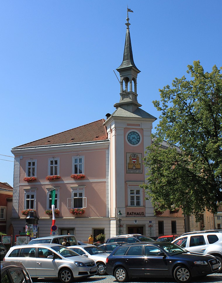 Rathaus Hauptplatz 1 is a public building, which is situated 4 km southeast of Bildfichte.
Places in the Area
Nearby places include Persenbeug.
Persenbeug
Village

Photo: Bwag, CC BY-SA 4.0.
Persenbeug is a village, which is situated 3 km southeast of Bildfichte.
Bildfichte
- Type: Wayside shrine
- Category: historic site
- Location: Hofamt Priel, Melk District, Lower Austria, Austria, Central Europe, Europe
- View on OpenStreetMap
Latitude
48.20417° or 48° 12′ 15″ northLongitude
15.05482° or 15° 3′ 17″ eastOpen location code
8FWQ6333+MWOpenStreetMap ID
node 1501975032OpenStreetMap feature
historic=wayside_shrine
This page is based on OpenStreetMap, Wikidata, and Wikimedia Commons.
We’d love your help improving our open data sources. Thank you for contributing.
Satellite Map
Discover Bildfichte from above in high-definition satellite imagery.
Notable Places Nearby
Highlights include Friedenkreuz and Viewpoint to danube-run-of-river power plant ybbs.
Nearby Places
Explore places such as Hubertusmaterl and Hofamt Priel Abzweigung Fahrenbach.
Lower Austria: Must-Visit Destinations
Delve into St. Pölten, Wiener Neustadt, Amstetten, and Klosterneuburg.
Curious Wayside Shrines to Discover
Uncover intriguing wayside shrines from every corner of the globe.
About Mapcarta. Data © OpenStreetMap contributors and available under the Open Database License". Text is available under the CC BY-SA 4.0 license, except for photos, directions, and the map. Photo: Lonezor, CC BY-SA 3.0.