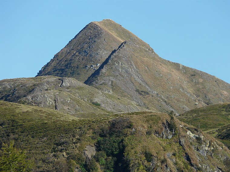
Leitenkogel
Leitenkogel is a peak in Kirchbach, Hermagor District, Carinthia and has an elevation of 1,845 metres. Leitenkogel is situated nearby to the locality Höhenlager Straniger Alm (1915-1917), as well as near Lodintörl.| Tap on a place to explore it |
Places of Interest
Highlights include Findenigkofel and Zollnersee.

Places in the Area
Nearby places include Grafendorf.

Leitenkogel
- Type: Peak with an elevation of 1,845 metres
- Category: landform
- Location: Kirchbach, Hermagor District, Carinthia, Austria, Central Europe, Europe
- View on OpenStreetMap
Latitude
46.6051° or 46° 36′ 18″ northLongitude
13.1257° or 13° 7′ 32″ eastElevation
1,845 metres (6,053 feet)Open location code
8FRMJ44G+27OpenStreetMap ID
node 1505691888OpenStreetMap feature
natural=peak
This page is based on OpenStreetMap, Wikidata, and Wikimedia Commons.
We’d love your help improving our open data sources. Thank you for contributing.
Satellite Map
Discover Leitenkogel from above in high-definition satellite imagery.
Places with the Same Name
Discover other places named “Leitenkogel”.
Localities in the Area
Explore places such as Höhenlager Straniger Alm (1915-1917) and Lodintörl.
Notable Places Nearby
Highlights include Buhle and Feldkofel.
Carinthia: Must-Visit Destinations
Delve into Klagenfurt, Villach, Wörthersee, and Spittal an der Drau.
Curious Peaks to Discover
Uncover intriguing peaks from every corner of the globe.
About Mapcarta. Data © OpenStreetMap contributors and available under the Open Database License". Text is available under the CC BY-SA 4.0 license, except for photos, directions, and the map. Photo: Wikimedia, CC BY-SA 3.0.