Poggio della Mandria
Poggio della Mandria is a peak in Barberino di Mugello, Florence, Tuscany and has an elevation of 876 metres. Poggio della Mandria is situated nearby to the locality Futa Pass, as well as near the hamlet L’Apparita.| Tap on a place to explore it |
Places of Interest
Highlights include Futa Pass Cemetery and Villa Panna.
Futa Pass Cemetery
Cemetery

Photo: Vignaccia76, CC BY 3.0.
The German Futa Pass Cemetery is Italy's largest war cemetery. According to the German War Graves Commission it holds remains of 30,800 German soldiers who died in the Second World War.

Places in the Area
Nearby places include Futa Pass and Bruscoli.
Futa Pass
Locality
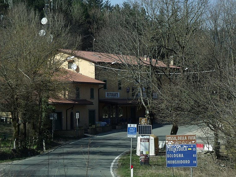 The Futa Pass or La Futa Pass is a pass in the Tuscan-Emilian Apennines, at an elevation of 903 m. It is located in the comune of Firenzuola, in the Metropolitan City of Florence.


Poggio della Mandria
- Type: Peak with an elevation of 876 metres
- Category: landform
- Location: Barberino di Mugello, Florence, Tuscany, Central Italy, Italy, Europe
- View on OpenStreetMap
Latitude
44.0892° or 44° 5′ 21″ northLongitude
11.2605° or 11° 15′ 38″ eastElevation
876 metres (2,874 feet)Open location code
8FPH37Q6+M6OpenStreetMap ID
node 1574161156OpenStreetMap feature
natural=peak
This page is based on OpenStreetMap, Wikidata, and Wikimedia Commons.
We’d love your help improving our open data sources. Thank you for contributing.
Satellite Map
Discover Poggio della Mandria from above in high-definition satellite imagery.
Localities in the Area
Explore places such as L’Apparita and Il Voltone.
Notable Places Nearby
Highlights include Poggio le Valli and Il Fossato.
Florence: Must-Visit Destinations
Delve into Florence, Scandicci, Fiesole, and Greve in Chianti.
Curious Peaks to Discover
Uncover intriguing peaks from every corner of the globe.
About Mapcarta. Data © OpenStreetMap contributors and available under the Open Database License". Text is available under the CC BY-SA 4.0 license, except for photos, directions, and the map. Photo: Massimilianogalardi, CC BY-SA 3.0.