Kompatscher
Kompatscher is a kiosk in Völs am Schlern, South Tyrol, Trentino-Alto Adige. Kompatscher is situated nearby to the church Saint Michael chapel, as well as near Pfarrmuseum und Archeologiemuseum Völs - Museo parrocchiale e Museo archeologico di Fiè.| Tap on a place to explore it |
Places of Interest Nearby
Highlights include Saint Michael chapel and Assumption of Mary.


New cemetery of Völs am Schlern
Cemetery

Photo: Luppus, CC BY-SA 3.0.
New cemetery of Völs am Schlern is situated 280 metres west of Kompatscher.
Places in the Area
Nearby places include Atzwang and Klobenstein.

Klobenstein
Village

Photo: Herbert Ortner, CC BY 4.0.
Klobenstein is a village, which is situated 4½ km northwest of Kompatscher.
Unterinn
Village
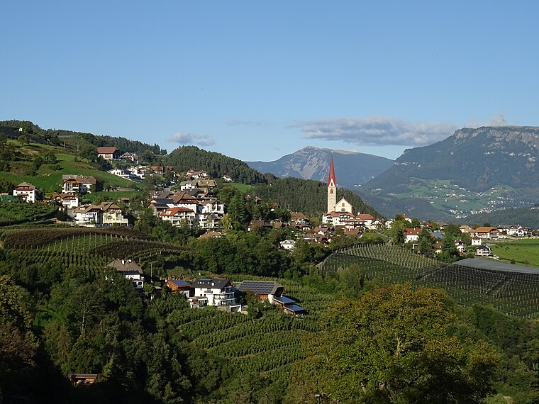
Photo: Syrio, CC BY-SA 4.0.
Unterinn is a village, which is situated 4½ km west of Kompatscher.
Kompatscher
- Type: Kiosk
- Wheelchair access: yes
- Category: shop
- Location: Völs am Schlern, South Tyrol, Trentino-Alto Adige, Northeast Italy, Italy, Europe
- View on OpenStreetMap
Latitude
46.51739° or 46° 31′ 3″ northLongitude
11.50244° or 11° 30′ 9″ eastOpen location code
8FRHGG82+XXOpenStreetMap ID
node 1579603037OpenStreetMap feature
shop=kioskOpenStreetMap attribute
wheelchair=yes
This page is based on OpenStreetMap, Wikidata, and Wikimedia Commons.
We’d love your help improving our open data sources. Thank you for contributing.
Satellite Map
Discover Kompatscher from above in high-definition satellite imagery.
Places with the Same Name
Discover other places named “Kompatscher”.
Notable Places Nearby
Highlights include Pfarrmuseum und Archeologiemuseum Völs - Museo parrocchiale e Museo archeologico di Fiè and Spielplatz Völs am Schlern.
Nearby Places
Explore places such as Gasthof Kreuzwirt and Sprengelstützpunkt.
South Tyrol: Must-Visit Destinations
Delve into Bolzano, Brixen, Merano, and Bruneck.
Curious Kiosks to Discover
Uncover intriguing kiosks from every corner of the globe.
About Mapcarta. Data © OpenStreetMap contributors and available under the Open Database License". Text is available under the CC BY-SA 4.0 license, except for photos, directions, and the map. Photo: Wikimedia, CC BY-SA 3.0 de.