Pole Moor
Pole Moor is a hamlet between Outlane and Scammonden in Kirklees, England. It is situated on a high moorland plateau between Slaithwaite and Wholestone Moors in the South Pennines.| Tap on a place to explore it |
Photo: Glyn Drury, CC BY-SA 2.0.
Photo: Richard Harvey, CC BY-SA 3.0.
Places of Interest
Highlights include Scammonden Reservoir and Shred Mission Church.
Scammonden Reservoir
Reservoir

Photo: J3Mrs, CC BY-SA 3.0.
Scammonden Reservoir is a water reservoir in West Yorkshire, England. Its water surface area when full is 42 hectares. The level of the bellmouth overflow above sea level is 252 metres. The reservoir holds 78,000,000,000 litres. Its length is 1.4 kilometres.


Places in the Area
Nearby places include Wilberlee and Slaithwaite.
Wilberlee
Hamlet

Photo: Pamela Norrington, CC BY-SA 2.0.
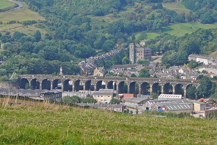
Wilberlee is a hamlet in the Colne Valley, in the Kirklees district, in the county of West Yorkshire, England. It is near the town of Huddersfield and the village of Slaithwaite. Wilberlee has a school called Wilberlee Junior and Infant School.
Slaithwaite
Village
 Slaithwaite is a town in the Kirklees district of West Yorkshire, England. Historically part of the West Riding of Yorkshire, it is in the Colne Valley and on the Huddersfield Narrow Canal, 5 miles south-west of Huddersfield.
Scapegoat Hill
Village
Scapegoat Hill is a small village 5 miles west of Huddersfield, West Yorkshire, England. It is near to the villages of Slaithwaite and Golcar. The village together with nearby Bolster Moor has a population of 1,246.
Pole Moor
- Type: Hamlet
- Description: hamlet in West Yorkshire, England, UK
- Categories: human settlement and locality
- Location: Kirklees, England, United Kingdom, Britain and Ireland, Europe
- View on OpenStreetMap
Latitude
53.64023° or 53° 38′ 25″ northLongitude
-1.89934° or 1° 53′ 58″ westOpen location code
9C5WJ4R2+37OpenStreetMap ID
node 1639171005OpenStreetMap feature
place=hamletWikidata ID
Q15267309
This page is based on OpenStreetMap, Wikidata, Wikimedia Commons, and Wikipedia.
We’d love your help improving our open data sources. Thank you for contributing.
Satellite Map
Discover Pole Moor from above in high-definition satellite imagery.
In Other Languages
“Pole Moor” goes by many names.
- Dutch: “Pole Moor”
Localities in the Area
Explore places such as Outlane Moor and Berry Mill.
Notable Places Nearby
Highlights include Pole Hill and Moorside Edge.
England: Must-Visit Destinations
Delve into London, Manchester, Sheffield, and Leeds.
Curious Hamlets to Discover
Uncover intriguing hamlets from every corner of the globe.
About Mapcarta. Data © OpenStreetMap contributors and available under the Open Database License". Text is available under the CC BY-SA 4.0 license, except for photos, directions, and the map. Description text is based on the Wikipedia page “Pole Moor”. Photo: Richard Harvey, CC BY-SA 3.0.