Old Madeley Manor
Old Madeley Manor is a ruins in Whitmore, Newcastle-under-Lyme District, England. Old Madeley Manor is situated nearby to Madeley Road Bridge, as well as near the deciduous forest Radwood Copse.| Tap on a place to explore it |
Places of Interest Nearby
Highlights include All Saints’ Church, Madeley and Madeley High School.
All Saints’ Church, Madeley
Church

Photo: AtticTapestry, CC BY-SA 4.0.
All Saints' Church is an Anglican church in Madeley, Staffordshire, England, and in the Diocese of Lichfield. The building dates mostly from the 14th and 15th centuries, and the chancel was rebuilt in the 19th century. It is Grade I listed. All Saints’ Church, Madeley is situated 1¼ miles north of Old Madeley Manor.
Madeley High School
School
Madeley High School, established 1957, is a coeducational secondary school with academy status, located in the village of Madeley, Staffordshire, England. Madeley High School is situated 1½ miles north of Old Madeley Manor.
Church of St Mary and All Saints
Church

Photo: Andy and Hilary, CC BY-SA 2.0.
Church of St Mary and All Saints is situated 2½ miles east of Old Madeley Manor.
Places in the Area
Nearby places include Onneley and Madeley.
Onneley
Hamlet

Photo: charles c, CC BY-SA 2.0.
Onneley is a hamlet in the Borough of Newcastle-under-Lyme, Staffordshire. Situated within Onneley is the local Golf and Cricket club. Onneley Cricket club play at the Onneley Oval.
Madeley
Village
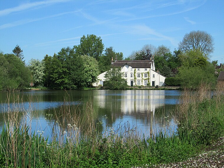
Photo: AtticTapestry, CC BY-SA 4.0.
Madeley is a village and ward in the Borough of Newcastle-under-Lyme, North Staffordshire, England. It is split into three parts: Madeley, Middle Madeley, and Little Madeley. Madeley is situated 1½ miles north of Old Madeley Manor.
Baldwin’s Gate
Village

Photo: charles c, CC BY-SA 2.0.
Baldwin's Gate is a village in the Borough of Newcastle-under-Lyme in Staffordshire. The population details for the 2011 census can be found under Whitmore. Baldwin’s Gate is situated 2 miles southeast of Old Madeley Manor.
Old Madeley Manor
- Type: Ruins
- Category: historic site
- Location: Whitmore, Newcastle-under-Lyme District, Staffordshire, West Midlands, England, United Kingdom, Britain and Ireland, Europe
- View on OpenStreetMap
Latitude
52.97745° or 52° 58′ 39″ northLongitude
-2.34008° or 2° 20′ 24″ westOpen location code
9C4VXMG5+XXOpenStreetMap ID
node 1642202473OpenStreetMap feature
historic=ruins
This page is based on OpenStreetMap, Wikidata, and Wikimedia Commons.
We’d love your help improving our open data sources. Thank you for contributing.
Satellite Map
Discover Old Madeley Manor from above in high-definition satellite imagery.
Notable Places Nearby
Highlights include Madeley Road Bridge and Radwood Copse.
Nearby Places
Explore places such as Manor Holding and Haling.
Staffordshire: Must-Visit Destinations
Delve into Stoke-on-Trent, Lichfield, Stafford, and Tamworth.
Curious Ruins to Discover
Uncover intriguing ruins from every corner of the globe.
About Mapcarta. Data © OpenStreetMap contributors and available under the Open Database License". Text is available under the CC BY-SA 4.0 license, except for photos, directions, and the map. Photo: Wikimedia, CC0.