Dobrunje
Dobrunje is a bus stop in Ljubljana, Slovenia. Dobrunje is situated nearby to the fire station PGD SLAPE, as well as near PGD Bizovik.| Tap on a place to explore it |
Places of Interest Nearby
Highlights include St. Ulrich’s Hill and Fužine Bridge.
St. Ulrich’s Hill
Church

Photo: Grudy, CC BY-SA 3.0.
St. Ulrich’s Hill is a church, which is situated 1 km southeast of Dobrunje.
Fužine Bridge
Bridge
The Fužine Bridge is a bridge crossing the Ljubljanica River near Fužine Castle in the eastern part of Ljubljana, the capital of Slovenia. It was built in 1987 based on plans by Peter Gabrijelčič, who received the Prešeren Fund Award for it in 1988. Fužine Bridge is situated 1¼ km northwest of Dobrunje.
Ljubljana Polje railway station
Railway stop
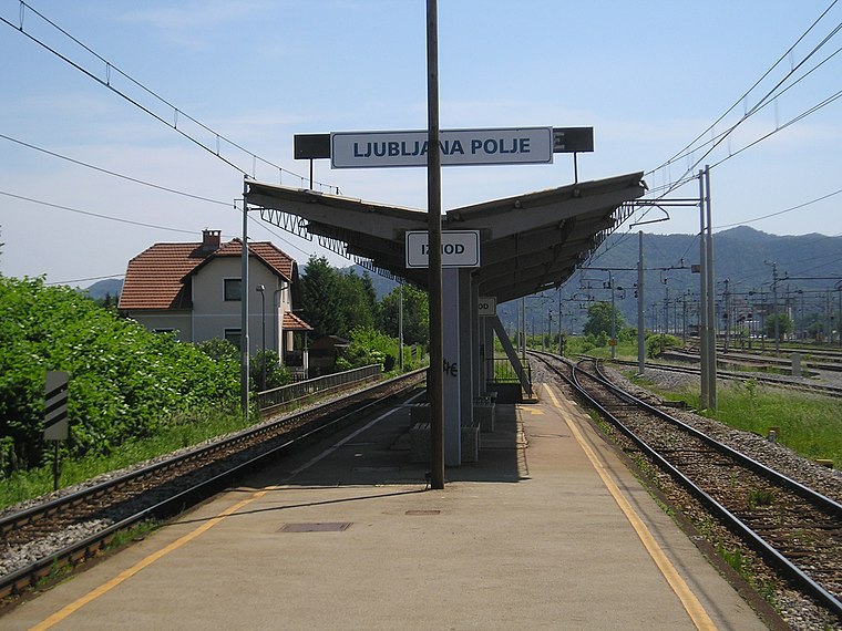
Photo: Ajznponar, CC BY-SA 3.0.
Ljubljana Polje railway station is a railway stop, which is situated 2 km north of Dobrunje.
Places in the Area
Nearby places include Slape and Bizovik.
Slape
Neighborhood
Slape is a formerly independent settlement in the eastern part of the capital Ljubljana in central Slovenia. It is part of the traditional region of Upper Carniola and is now included with the rest of the municipality in the Central Slovenia Statistical Region.
Bizovik
Quarter

Photo: Doremo, CC BY-SA 3.0.
Bizovik is a formerly independent settlement southeast of the capital Ljubljana in central Slovenia. It belongs to the City Municipality of Ljubljana. It is part of the traditional region of Lower Carniola and is now included with the rest of the municipality in the Central Slovenia Statistical Region.
Zadvor
Suburb

Photo: Doremo, CC BY-SA 3.0.
Zadvor is a formerly independent settlement in the southeast part of the capital Ljubljana in central Slovenia. It belongs to the City Municipality of Ljubljana.
Dobrunje
- Type: Bus stop
- Category: transportation
- Location: Ljubljana, Slovenia, Central Europe, Europe
- View on OpenStreetMap
Latitude
46.04326° or 46° 2′ 36″ northLongitude
14.57925° or 14° 34′ 45″ eastOpen location code
8FRP2HVH+8POpenStreetMap ID
node 1646052202OpenStreetMap feature
highway=bus_stopOpenStreetMap feature
public_transport=platform
This page is based on OpenStreetMap, Wikidata, and Wikimedia Commons.
We’d love your help improving our open data sources. Thank you for contributing.
Satellite Map
Discover Dobrunje from above in high-definition satellite imagery.
Places with the Same Name
Discover other places named “Dobrunje”.
Notable Places Nearby
Highlights include PGD SLAPE and PGD Bizovik.
Nearby Places
Explore places such as Pri Micki and Dobrunje.
Slovenia: Must-Visit Destinations
Delve into Ljubljana, Maribor, Koper, and Celje.
Curious Bus Stops to Discover
Uncover intriguing bus stops from every corner of the globe.
About Mapcarta. Data © OpenStreetMap contributors and available under the Open Database License". Text is available under the CC BY-SA 4.0 license, except for photos, directions, and the map. Photo: Jjtkk, CC BY 3.0.