Radisch-Neubert Pflegedienst
Radisch-Neubert Pflegedienst is a social service facility in Mannheim, Karlsruhe Region, Baden-Württemberg. Radisch-Neubert Pflegedienst is situated nearby to Rheingoldplatz, as well as near the police station Polizeirevier Neckarau.| Tap on a place to explore it |
Places of Interest Nearby
Highlights include St.-Jakobus-Kirche and Stollenwörthweiher.
St.-Jakobus-Kirche
Church
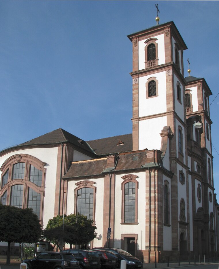
Photo: Frank-m, CC BY-SA 3.0.
St.-Jakobus-Kirche is a church, which is situated 600 metres east of Radisch-Neubert Pflegedienst.

Diakonissenkrankenhaus Mannheim
Hospital
 Diakonissenkrankenhaus Mannheim is a hospital, which is situated 1¼ km northwest of Radisch-Neubert Pflegedienst.
Places in the Area
Nearby places include Altrip and Ludwigshafen.
Altrip
Village

Photo: Immanuel Giel, Public domain.
Altrip is a municipality in the Rhein-Pfalz-Kreis, in Rhineland-Palatinate, Germany. It is situated on the left bank of the Rhine, approx. 7 km southeast of Ludwigshafen. The population in 2022 was 7,728. Altrip is situated 2½ km southeast of Radisch-Neubert Pflegedienst.
Ludwigshafen

Photo: Engelberger, CC BY-SA 3.0.
Ludwigshafen, officially Ludwigshafen am Rhein, is a city in the German state of Rhineland-Palatinate, on the river Rhine, opposite Mannheim. With Mannheim, Heidelberg, and the surrounding region, it forms the Rhine-Neckar Metropolitan Region.
Hochstätt
Suburb
 Hochstätt is a suburb, which is situated 4 km east of Radisch-Neubert Pflegedienst.
Radisch-Neubert Pflegedienst
- Type: Social service facility
- Wheelchair access: yes
- Location: Mannheim, Karlsruhe Region, Rhine-Neckar, Baden-Württemberg, Germany, Central Europe, Europe
- View on OpenStreetMap
Latitude
49.45433° or 49° 27′ 16″ northLongitude
8.48189° or 8° 28′ 55″ eastOpen location code
8FXCFF3J+PQOpenStreetMap ID
node 1654039249OpenStreetMap feature
amenity=social_facilityOpenStreetMap attribute
wheelchair=yes
This page is based on OpenStreetMap, Wikidata, and Wikimedia Commons.
We’d love your help improving our open data sources. Thank you for contributing.
Satellite Map
Discover Radisch-Neubert Pflegedienst from above in high-definition satellite imagery.
Notable Places Nearby
Highlights include Rheingoldplatz and Polizeirevier Neckarau.
Nearby Places
Explore places such as werbeagenturen Ltd. yaweb and NONO TAN.
Rhine-Neckar: Must-Visit Destinations
Delve into Heidelberg, Karlsruhe, Heilbronn, and Sinsheim.
Curious Social Service Facilities to Discover
Uncover intriguing social service facilities from every corner of the globe.
About Mapcarta. Data © OpenStreetMap contributors and available under the Open Database License". Text is available under the CC BY-SA 4.0 license, except for photos, directions, and the map. Photo: HubiB, CC BY 2.5.