Station
Station is a bus station in Gorinchem, Alblasserwaard-Drechtsteden, South Holland. Station is situated nearby to the marina Gorcumse zeil- en roeivereniging, as well as near the sports venue Gorcumse Roei- & Zeilvereniging.| Tap on a place to explore it |
Places of Interest Nearby
Highlights include Gorinchem railway station and Waterstaatskerk Gorinchem.
Gorinchem railway station
Railway station
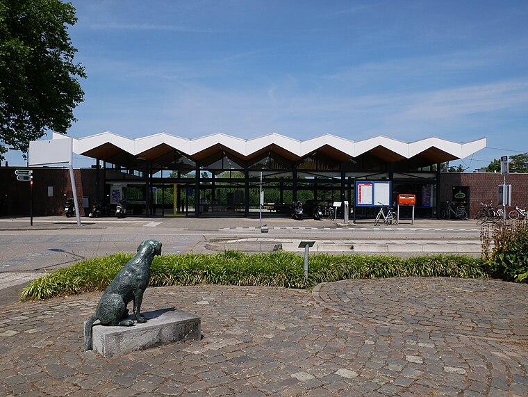
Photo: Fantaglobe11, CC BY-SA 4.0.
Gorinchem is a railway station in the town of Gorinchem, Netherlands. It is on the MerwedeLingelijn. It was opened on 1 December 1883. Train services are operated by Qbuzz.
Waterstaatskerk Gorinchem
Church

Photo: Stunteltje, CC BY-SA 3.0 nl.
Waterstaatskerk Gorinchem is a church, which is situated 430 metres southeast of Station.
Vesting Gorinchem
Castle

Photo: Frederik de Wit, Public domain.
Vesting Gorinchem is a castle, which is situated 650 metres southeast of Station.
Places in the Area
Nearby places include Sleeuwijk and Oudendijk.
Sleeuwijk
Village

Photo: Wikimedia, CC BY-SA 4.0.
Sleeuwijk is a village in the Dutch province of North Brabant and part of the municipality of Altena.
Oudendijk
Village

Photo: DreCube, CC BY-SA 3.0.
Oudendijk is a village, which is situated 2½ km south of Station.
Dalem
Village
Dalem is a village in the Tielerwaard region in the municipality of Gorinchem, in the Dutch province of South Holland. The village belonged to the province of Gelderland until 1986 and was part of the former municipality of Vuren. Dalem is situated 3 km east of Station.
Station
- Type: Bus station
- Wheelchair access: yes
- Categories: station and transportation
- Location: Gorinchem, Alblasserwaard-Drechtsteden, South Holland, Western Netherlands, Netherlands, Benelux, Europe
- View on OpenStreetMap
Latitude
51.83319° or 51° 49′ 60″ northLongitude
4.96717° or 4° 58′ 2″ eastOpen location code
9F36RXM8+7VOpenStreetMap ID
node 1666065118OpenStreetMap feature
amenity=bus_stationOpenStreetMap feature
public_transport=stationOpenStreetMap attribute
wheelchair=yes
This page is based on OpenStreetMap, Wikidata, and Wikimedia Commons.
We’d love your help improving our open data sources. Thank you for contributing.
Satellite Map
Discover Station from above in high-definition satellite imagery.
Places with the Same Name
Discover other places named “Station”.
Notable Places Nearby
Highlights include Gorcumse zeil- en roeivereniging and Gorcumse Roei- & Zeilvereniging.
Nearby Places
Explore places such as Station and Gorinchem, Station.
Alblasserwaard-Drechtsteden: Must-Visit Destinations
Delve into Dordrecht, Kinderdijk, Sliedrecht, and Zwijndrechtse Waard.
Curious Bus Stations to Discover
Uncover intriguing bus stations from every corner of the globe.
About Mapcarta. Data © OpenStreetMap contributors and available under the Open Database License". Text is available under the CC BY-SA 4.0 license, except for photos, directions, and the map. Photo: Torsade de Pointes, CC0.