Maglern Ost
Maglern Ost is a bus stop in Arnoldstein, Villach-Land District, Carinthia. Maglern Ost is situated nearby to the castle Schloss Strassfried, as well as near Burgruine Straßfried.| Tap on a place to explore it |
Places of Interest Nearby
Highlights include Schloss Strassfried and Burgruine Straßfried.
Schloss Strassfried
Castle

Photo: Johann Jaritz, CC BY-SA 3.0 at.
Schloss Strassfried is a castle, which is situated 150 metres south of Maglern Ost.
Burgruine Straßfried
Castle

Photo: Johann Jaritz, CC BY-SA 3.0 at.
Burgruine Straßfried is a castle in Carinthia, Austria. It is located next to the Austrian–Italian border by Arnoldstein in Carinthia. The name of the castle means "Ruins of Castle Straßfried" and draws attention to its location and its earlier strategic importance. Burgruine Straßfried is situated 410 metres north of Maglern Ost.
Pfarrkirche Thörl-Maglern
Church

Photo: Johann Jaritz, CC BY-SA 3.0 at.
Pfarrkirche Thörl-Maglern is a church, which is situated 1 km southwest of Maglern Ost.
Places in the Area
Nearby places include Coccau and Feistritz an der Gail.
Coccau
Village

Photo: Joadl, CC BY-SA 3.0.
Coccau is a village, which is situated 5 km southwest of Maglern Ost.
Feistritz an der Gail
Village

Photo: Codas, CC BY-SA 4.0.
Feistritz an der Gail, often referred to as simply Feistritz, is a town in the district of Villach-Land in Carinthia in Austria. It is close to the borders with both Italy and Slovenia. Feistritz an der Gail is situated 5 km northwest of Maglern Ost.
Fusine in Valromana
Village
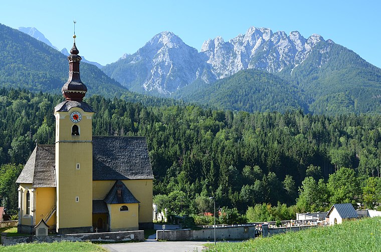
Photo: Johann Jaritz, CC BY-SA 3.0.
Fusine in Valromana is a frazione of the comune of Tarvisio in the Province of Udine, in the autonomous Friuli-Venezia Giulia region of northeastern Italy. Fusine in Valromana is situated 6 km south of Maglern Ost.
Maglern Ost
- Type: Bus stop
- Categories: transport stop and transportation
- Location: Arnoldstein, Villach-Land District, Carinthia, Austria, Central Europe, Europe
- View on OpenStreetMap
Latitude
46.54621° or 46° 32′ 46″ northLongitude
13.65937° or 13° 39′ 34″ eastOpen location code
8FRMGMW5+FPOpenStreetMap ID
node 1687686307OpenStreetMap feature
highway=bus_stopOpenStreetMap feature
public_transport=stop_position
This page is based on OpenStreetMap, Wikidata, and Wikimedia Commons.
We’d love your help improving our open data sources. Thank you for contributing.
Satellite Map
Discover Maglern Ost from above in high-definition satellite imagery.
Notable Places Nearby
Highlights include Straßfried and Polizeiinspektion Thörl-Maglern - AGM.
Nearby Places
Explore places such as Maglern Ost and Maglern Hohenthurner Straße.
Carinthia: Must-Visit Destinations
Delve into Klagenfurt, Villach, Wörthersee, and Spittal an der Drau.
Curious Bus Stops to Discover
Uncover intriguing bus stops from every corner of the globe.
About Mapcarta. Data © OpenStreetMap contributors and available under the Open Database License". Text is available under the CC BY-SA 4.0 license, except for photos, directions, and the map. Photo: Wikimedia, CC BY-SA 3.0.