ΔΕΝΔΡΟΦΥΤΕΙΑ
ΔΕΝΔΡΟΦΥΤΕΙΑ is a bus stop in Neapoli-Sykies, Thessaloniki, Central Macedonia. ΔΕΝΔΡΟΦΥΤΕΙΑ is situated nearby to the pitch Μικρό γήπεδο για μπάσκετ, as well as near the theater building Ανοιχτό Θέατρο ‘Μάνος Κατράκης’.| Tap on a place to explore it |
Places of Interest Nearby
Highlights include Vlatadon Monastery and Moni Latomou.
Vlatadon Monastery
Monastery

Photo: Stolbovsky, CC BY-SA 3.0.
Vlatades Monastery or Vlatadon Monastery is a monastery in Ano Poli, Thessaloniki, Greece. Built in the 14th century during the late era of the Byzantine Empire, it is a UNESCO World Heritage Site along with 14 other Paleochristian and Byzantine monuments of Thessaloniki because of its Byzantine architecture and importance of Thessaloniki during early and medieval Christianity. Vlatadon Monastery is situated 590 metres south of ΔΕΝΔΡΟΦΥΤΕΙΑ.
Moni Latomou
Church
 The Church of Hosios David is a late 5th-century church in Thessaloniki, Greece. During Byzantine times, it functioned as the katholikon of the Latomos Monastery, and was adorned with rich mosaic and fresco decoration, which was renewed in the 12th–14th centuries. Moni Latomou is situated 650 metres south of ΔΕΝΔΡΟΦΥΤΕΙΑ.
Hagios Demetrios
Church

Photo: Vanbasten 23, CC BY-SA 3.0.
The Church of Saint Demetrius, or Hagios Demetrios, is the main sanctuary dedicated to Saint Demetrius, the patron saint of Thessaloniki, dating from a time when it was the second largest city of the Byzantine Empire. Hagios Demetrios is situated 1 km southwest of ΔΕΝΔΡΟΦΥΤΕΙΑ.
Places in the Area
Nearby places include Sykies, Thessaloniki and Upper Town.
Sykies, Thessaloniki
Suburb

Photo: EntaXoyas, CC BY-SA 3.0.
Sykies or Sykeai is a suburb of the Thessaloniki Urban Area and was a former municipality in the regional unit of Thessaloniki, Greece. Since the 2011 local government reform it is part of the municipality Neapoli-Sykies, of which it is the seat and a municipal unit.
Upper Town
Suburb

Photo: PLAKLE, CC BY-SA 4.0.
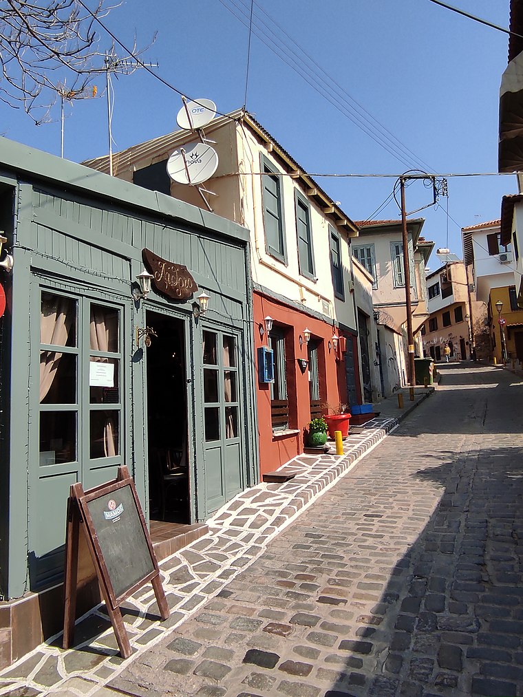
Upper Town or Ano Poli is the old town of Thessaloniki and is located around the city's acropolis north of the city center. The neighborhood is known for its well preserved Byzantine and Ottoman era structures and urban design and as a center for Thessaloniki's poets, intellectuals, and bohemians.
ΔΕΝΔΡΟΦΥΤΕΙΑ
- Type: Bus stop
- Category: transportation
- Location: Neapoli-Sykies, Thessaloniki, Central Macedonia, Greece, Balkans, Europe
- View on OpenStreetMap
Latitude
40.64717° or 40° 38′ 50″ northLongitude
22.95502° or 22° 57′ 18″ eastOpen location code
8GG4JXW4+V2OpenStreetMap ID
node 1718132178OpenStreetMap feature
highway=bus_stopOpenStreetMap feature
public_transport=platform
This page is based on OpenStreetMap, Wikidata, and Wikimedia Commons.
We’d love your help improving our open data sources. Thank you for contributing.
Satellite Map
Discover ΔΕΝΔΡΟΦΥΤΕΙΑ from above in high-definition satellite imagery.
Notable Places Nearby
Highlights include Μικρό γήπεδο για μπάσκετ and Άλσος Συκεών (Δενδροφυτεία).
Nearby Places
Explore places such as Μελίνα Μερκουρη and ΔΕΝΔΡΟΦΥΤΕΙΑ.
Greece: Must-Visit Destinations
Delve into Athens, Thessaloniki, Lesvos, and Arcadia.
Curious Bus Stops to Discover
Uncover intriguing bus stops from every corner of the globe.
About Mapcarta. Data © OpenStreetMap contributors and available under the Open Database License". Text is available under the CC BY-SA 4.0 license, except for photos, directions, and the map. Photo: Wikimedia, CC0.