A l’ombre du murier
A l’ombre du murier is a gift shop in Jurbise, Arrondissement of Mons, Wallonia. A l’ombre du murier is situated nearby to the church Église Notre-Dame, as well as near the pitch F.C. Vacresse.| Tap on a place to explore it |
Places of Interest Nearby
Highlights include Erbisœul railway station.
Erbisœul railway station
Railway stop
 Erbisœul railway station is a railway stop, which is situated 2½ km southeast of A l’ombre du murier.
Places in the Area
Nearby places include Ghlin and Hautrage.
Ghlin
Village
 Ghlin is a sub-municipality of the city of Mons located in the province of Hainaut, Wallonia, Belgium. It was a separate municipality until 1972. On 1 January 1972, it was merged into Mons. Ghlin is situated 6 km southeast of A l’ombre du murier.
Hautrage
Village

Photo: Jean-Pol GRANDMONT, CC BY-SA 3.0.
Hautrage is a village, which is situated 7 km southwest of A l’ombre du murier.
Jemappes
Village

Photo: Jean-Pol GRANDMONT, CC BY 3.0.
Jemappes is a sub-municipality of the city of Mons located in the province of Hainaut, Wallonia, Belgium. It was a separate municipality until 1977. On 8 June 1870, Flénu was detached from Jemappes, and was later merged into Jemappes in 1971. Jemappes is situated 8 km south of A l’ombre du murier.
A l’ombre du murier
- Type: Gift shop
- Category: shop
- Location: Jurbise, Arrondissement of Mons, Hainaut, Wallonia, Belgium, Benelux, Europe
- View on OpenStreetMap
Latitude
50.51697° or 50° 31′ 1″ northLongitude
3.85296° or 3° 51′ 11″ eastOpen location code
9F25GV83+Q5OpenStreetMap ID
node 1719240721OpenStreetMap feature
shop=gift
This page is based on OpenStreetMap, Wikidata, and Wikimedia Commons.
We’d love your help improving our open data sources. Thank you for contributing.
Satellite Map
Discover A l’ombre du murier from above in high-definition satellite imagery.
Notable Places Nearby
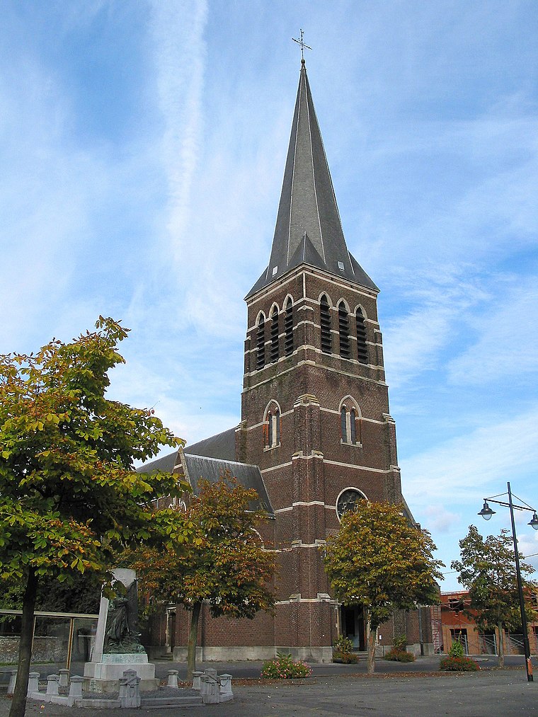
Highlights include Église Notre-Dame and F.C. Vacresse.
Nearby Places
Explore places such as Herchies Vacresse and 12toit.
Hainaut: Must-Visit Destinations
Delve into Charleroi, Mons, Tournai, and La Louvière.
Curious Gift Shops to Discover
Uncover intriguing gift shops from every corner of the globe.
About Mapcarta. Data © OpenStreetMap contributors and available under the Open Database License". Text is available under the CC BY-SA 4.0 license, except for photos, directions, and the map. Photo: Jean-Pol GRANDMONT, CC BY-SA 3.0.