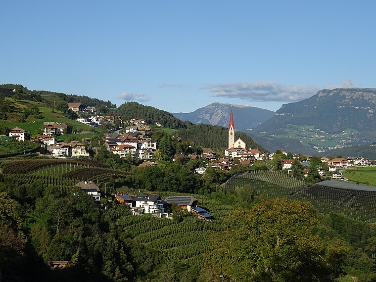
FF Unterinn - VFV Auna di Sotto
FF Unterinn - VFV Auna di Sotto is a fire station in Ritten, South Tyrol, Trentino-Alto Adige which is located on Hauptstraße - Via Principale. FF Unterinn - VFV Auna di Sotto is situated nearby to the church St. Luceien, as well as near St. Sebastian Kirche - Chiesa di San Sebastiano.| Tap on a place to explore it |
- Email: ff.unterinn@lfvbz.org
- Type: Fire station
- Address: Hauptstraße - Via Principale 45a, Unterinn, 39054
Places of Interest Nearby
Highlights include Earth pyramids in the gorge of the Rio Gasterer and Zwingenstein Castle.
Earth pyramids in the gorge of the Rio Gasterer

Photo: Danysan1, CC BY-SA 4.0.
Earth pyramids in the gorge of the Rio Gasterer is situated 1 km northeast of FF Unterinn - VFV Auna di Sotto.
Zwingenstein Castle
Castle

Photo: Plentn, CC BY-SA 4.0.
Zwingenstein Castle is situated 1¼ km southwest of FF Unterinn - VFV Auna di Sotto.
Lichtenstern railway station
Railway station

Photo: Falk2, CC BY-SA 4.0.
Lichtenstern railway station is situated 2 km north of FF Unterinn - VFV Auna di Sotto.
Places in the Area
Nearby places include Unterinn and Blumau.

Steinegg
Village

Photo: Syrio, CC BY-SA 4.0.
Steinegg is a village, which is situated 3 km south of FF Unterinn - VFV Auna di Sotto.
FF Unterinn - VFV Auna di Sotto
Latitude
46.51275° or 46° 30′ 46″ northLongitude
11.44158° or 11° 26′ 30″ eastOpen location code
8FRHGC7R+3JOpenStreetMap ID
node 1725266611OpenStreetMap feature
amenity=fire_station
This page is based on OpenStreetMap, Wikidata, and Wikimedia Commons.
We’d love your help improving our open data sources. Thank you for contributing.
Satellite Map
Discover FF Unterinn - VFV Auna di Sotto from above in high-definition satellite imagery.
In Other Languages
From German to Italian—“FF Unterinn - VFV Auna di Sotto” goes by many names.
- German: “FF Unterinn”
- Italian: “VFV Auna di Sotto”
Notable Places Nearby
Highlights include St. Luceien and St. Sebastian Kirche - Chiesa di San Sebastiano.
Nearby Places
Explore places such as Habenberg and Raiffeisenkasse Ritten.
South Tyrol: Must-Visit Destinations
Delve into Bolzano, Brixen, Merano, and Bruneck.
Curious Fire Stations to Discover
Uncover intriguing fire stations from every corner of the globe.
About Mapcarta. Data © OpenStreetMap contributors and available under the Open Database License". Text is available under the CC BY-SA 4.0 license, except for photos, directions, and the map. Photo: Jon Shave, CC BY 2.0.