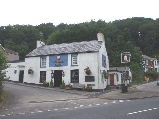
Nicholls Arms
Nicholls Arms is a bus stop in Llangynwyd Lower, County Borough of Bridgend, Wales. Nicholls Arms is situated nearby to the community center Coytrahen Community Centre, as well as near the forest Coedpentwyn wood.| Tap on a place to explore it |
Places of Interest Nearby
Highlights include Nicholls Arms PH and Tondu railway station.
Tondu railway station
Railway station

Photo: Mattbuck, CC BY-SA 3.0.
Tondu railway station is a railway station serving the village of Tondu, Bridgend county borough, South Wales. It is located on the Maesteg Line from Cardiff via Bridgend. Tondu railway station is situated 1 mile south of Nicholls Arms.
St David’s Church, Bettws
Church

Photo: John Lord, CC BY-SA 2.0.
St David's Church is a Grade I listed church in Bettws, Bridgend County Borough, southern Wales. The church is believed to date to the 12th century, though was dedicated to St David later on. St David’s Church, Bettws is situated 4,200 feet northeast of Nicholls Arms.
Places in the Area
Nearby places include Coytrahen and Tondu.

Tondu
Village

Photo: Chris Shaw, CC BY-SA 2.0.
Tondu is a village in Bridgend County Borough, Wales, located about 3 miles north of the town of Bridgend, in the community of Ynysawdre. Tondu lies on the A4063 from Bridgend to Maesteg, and was established in the late 18th century as a coal mining village servicing the Parc Slip Colliery.
Bettws
Village
Photo: John Lord, CC BY-SA 2.0.
Bettws, is a small ex-mining and farming village in the South Wales Valleys in the county borough of Bridgend, Wales. Bryngarw Country Park is approximately one mile away, with a footpath leading there from the village.
Nicholls Arms
- Type: Bus stop
- Category: transportation
- Location: Llangynwyd Lower, County Borough of Bridgend, Wales, United Kingdom, Britain and Ireland, Europe
- View on OpenStreetMap
Latitude
51.55976° or 51° 33′ 35″ northLongitude
-3.60132° or 3° 36′ 5″ westOpen location code
9C3RH95X+WFOpenStreetMap ID
node 1739153676OpenStreetMap feature
highway=bus_stopOpenStreetMap feature
public_transport=platform
This page is based on OpenStreetMap, Wikidata, and Wikimedia Commons.
We’d love your help improving our open data sources. Thank you for contributing.
Satellite Map
Discover Nicholls Arms from above in high-definition satellite imagery.
Places with the Same Name
Discover other places named “Nicholls Arms”.
Notable Places Nearby
Highlights include Coytrahen Community Centre and Coedpentwyn wood.
Nearby Places
Explore places such as Nicholls Arms and Victoria Gardens Substation.
Wales: Must-Visit Destinations
Delve into Cardiff, Swansea, Llanfairpwllgwyngyll, and Newport.
Curious Bus Stops to Discover
Uncover intriguing bus stops from every corner of the globe.
About Mapcarta. Data © OpenStreetMap contributors and available under the Open Database License". Text is available under the CC BY-SA 4.0 license, except for photos, directions, and the map. Photo: fionamcallisterphotography, CC BY 2.0.