C/ Vitoria-Juan XXIII
C/ Vitoria-Juan XXIII is a taxicab stand in Burgos, Castile and León. C/ Vitoria-Juan XXIII is situated nearby to the university AFALVI, as well as near the casino Luckia.| Tap on a place to explore it |
Places of Interest Nearby
Highlights include Church of Nuestra Señora de Fátima and Estadio El Plantío.
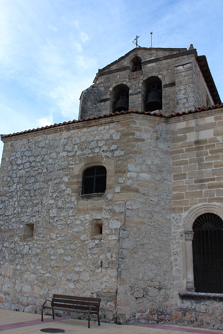
Church of Nuestra Señora de Fátima
Church

Photo: Tomukas, CC BY-SA 4.0.
Church of Nuestra Señora de Fátima is situated 170 metres west of C/ Vitoria-Juan XXIII.
Estadio El Plantío
Stadium

Photo: Asturkian, CC BY-SA 4.0.
Estadio Municipal de El Plantío is a stadium in Burgos, Spain. It is currently used for football matches and is the home stadium of Burgos CF. The stadium holds 12,194 spectators. Estadio El Plantío is situated 1 km southwest of C/ Vitoria-Juan XXIII.
Coliseum Burgos
Stadium

Photo: Asturkian, CC BY-SA 4.0.
The Coliseum Burgos, formerly named as Plaza de Toros de Burgos, is an indoor arena mainly used as bullring located in Burgos, Spain. It is a Spanish bullring originally opened in 1967 and remodelled in 2015 to serve as a multi-purpose arena. Coliseum Burgos is situated 1 km southwest of C/ Vitoria-Juan XXIII.
Places in the Area
Nearby places include Gamonal and Villayuda.


C/ Vitoria-Juan XXIII
- Type: Taxicab stand
- Category: transportation
- Location: Burgos, Burgos, Castile and León, Central Spain, Spain, Iberia, Europe
- View on OpenStreetMap
Latitude
42.35138° or 42° 21′ 5″ northLongitude
-3.67276° or 3° 40′ 22″ westOpen location code
8CJR982G+HVOpenStreetMap ID
node 1748755450OpenStreetMap feature
amenity=taxi
This page is based on OpenStreetMap, Wikidata, and Wikimedia Commons.
We’d love your help improving our open data sources. Thank you for contributing.
Satellite Map
Discover C/ Vitoria-Juan XXIII from above in high-definition satellite imagery.
Notable Places Nearby
Highlights include Luckia and AFALVI.
Nearby Places
Explore places such as Sin Fronteras and Roberto.
Castile and León: Must-Visit Destinations
Delve into Valladolid, Salamanca, León, and Segovia.
Curious Taxicab Stands to Discover
Uncover intriguing taxicab stands from every corner of the globe.
About Mapcarta. Data © OpenStreetMap contributors and available under the Open Database License". Text is available under the CC BY-SA 4.0 license, except for photos, directions, and the map. Photo: Choniron, CC BY-SA 3.0 es.