San Cesario di Lecce railway station
San Cesario di Lecce is a railway station in San Cesario di Lecce, Italy. The station is located on the Lecce–Otranto railway. The train services and the railway infrastructure are operated by Ferrovie del Sud Est.| Tap on a place to explore it |
Photo: Nenea hartia, CC BY-SA 4.0.
Places of Interest Nearby
Highlights include San Vito and Rudiae.
San Vito
Church

Photo: Lupiae, CC BY-SA 3.0.
San Vito is a church, which is situated 2 km west of San Cesario di Lecce railway station.
Rudiae
Park
Rudiae was a former human settlement in late 9th or early 8th centuries BCE. It is presently an archaeological park beside the San Pietro in Lama that runs south-west from the city of Lecce. Rudiae is situated 3½ km northwest of San Cesario di Lecce railway station.
Places in the Area
Nearby places include Lecce and Merine.
Lecce

Photo: MatthiasKabel, CC BY 2.5.
Lecce is a city in the Apulia region of Italy. Lecce has been dubbed "the Florence of the south". Whereas many people skip it in favour of the nearby beach towns of the Salento peninsula, this city, distinguished by its elaborate style of baroque buildings, has at least a couple of days of attractions worth seeing.
Merine
Village

Photo: Wikimedia, CC BY-SA 4.0.
Merine is an Italian village and hamlet of the municipality of Lizzanello in the Province of Lecce, Apulia. As of 2011 its population was of 4,785. Merine is situated 6 km northeast of San Cesario di Lecce railway station.
Galugnano
Village
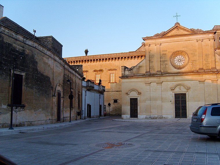
Photo: Freddyballo, CC BY-SA 3.0.
Galugnano is a village, which is situated 7 km southeast of San Cesario di Lecce railway station.
San Cesario di Lecce railway station
- Type: Railway station
- Description: railway station in San Cesario di Lecce, Italy
- Category: transportation
- Location: San Cesario di Lecce, Lecce, Apulia, Southern Italy, Italy, Europe
- View on OpenStreetMap
Latitude
40.30409° or 40° 18′ 15″ northLongitude
18.16661° or 18° 9′ 60″ eastOpen location code
8FGW8538+JJOpenStreetMap ID
node 1764652047OpenStreetMap feature
railway=stationWikidata ID
Q19581938
This page is based on OpenStreetMap, Wikidata, Wikimedia Commons, and Wikipedia.
We’d love your help improving our open data sources. Thank you for contributing.
Satellite Map
Discover San Cesario di Lecce railway station from above in high-definition satellite imagery.
In Other Languages
From Egyptian Arabic to Romanian—“San Cesario di Lecce railway station” goes by many names.
- Egyptian Arabic: “محطة سان سيساريو دى ليكس”
- French: “gare de San Cesario di Lecce”
- French: “San Cesario di Lecce”
- Hungarian: “Stazione di San Cesario di Lecce”
- Italian: “stazione di San Cesario di Lecce”
- Italian: “Stazione di San Cesario di Lecce”
- Lombard: “Stazzion de San Cesario di Lecce”
- Romanian: “gara San Cesario di Lecce”
Notable Places Nearby
Highlights include Chiesa di SS Salvatore and Casa museo ‘E. Leandro’.
Nearby Places
Explore places such as San Cesario di Lecce and Falegnameria e Mobili Artigianali Luigi Prontera.
Lecce: Must-Visit Destinations
Delve into Lecce, Otranto, Gallipoli, and Nardò.
Curious Railway Stations to Discover
Uncover intriguing railway stations from every corner of the globe.
About Mapcarta. Data © OpenStreetMap contributors and available under the Open Database License". Text is available under the CC BY-SA 4.0 license, except for photos, directions, and the map. Description text is based on the Wikipedia page “San Cesario di Lecce railway station”. Photo: Nenea hartia, CC BY-SA 4.0.