Instow Pond
Instow Pond is a picnic site in Instow, North Devon District, England. Instow Pond is situated nearby to North Devon Cricket Ground, as well as near the shingle beach Cool Stone.| Tap on a place to explore it |
Places of Interest Nearby
Highlights include RM Instow and Crow Point Lighthouse.
RM Instow
Military installation

Photo: Rabbi WP Thinrod, CC BY-SA 2.0.
RM Instow, also known as Arromanches Camp, is a military installation operated by the Royal Marines at Instow in North Devon located 5.2 miles south west of Barnstaple, Devon, and 3.2 miles north east of Bideford, Devon, England. RM Instow is situated 1,900 feet south of Instow Pond.
Crow Point Lighthouse
Lighthouse

Photo: Rabbi WP Thinrod, CC BY-SA 2.0.
Braunton Burrows is a sand dune system on the North Devon coast. It is privately owned and forms part of the Christie Devon Estates Trust. Braunton Burrows is a prime British sand dune site, the largest sand dune system in England. Crow Point Lighthouse is situated 3,400 feet west of Instow Pond.
Church of St John the Baptist
Church

Photo: Martin Bodman, CC BY-SA 2.0.
Church of St John the Baptist is situated 2,500 feet southeast of Instow Pond.
Places in the Area
Nearby places include Appledore and Yelland.
Appledore
Village
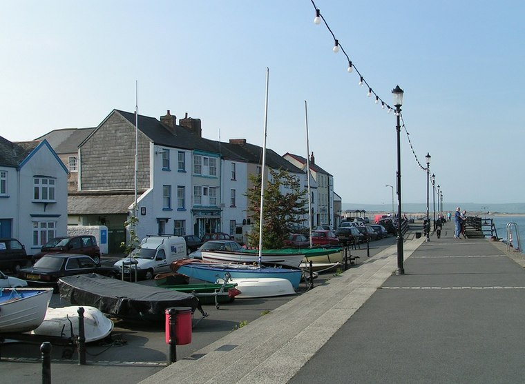
Photo: Sannse, CC BY-SA 3.0.
Appledore is a village at the mouth of the River Torridge, about 6 miles west of Barnstaple and about 3 miles north of Bideford in the county of Devon, England.
Yelland
Village

Photo: Rabbi WP Thinrod, CC BY-SA 2.0.
Yelland is a village of 2,000 inhabitants situated in North Devon between Instow and Fremington in the English county of Devon. Yelland is included within the parish of Fremington.
Westward Ho!
 Westward Ho! is a quaintly-named seaside town in Torridge, Devon, England, near Bideford! Beware however, that's where the quaintness ends. Westward Ho! is in some need of investment, although it retains a good variety of quality local businesses, and its beach is highly regarded and noted for the cleanliness of its water.
Instow Pond
- Type: Picnic site
- Category: tourism
- Location: Instow, North Devon District, Devon, West Country, England, United Kingdom, Britain and Ireland, Europe
- View on OpenStreetMap
Latitude
51.06431° or 51° 3′ 52″ northLongitude
-4.17521° or 4° 10′ 31″ westOpen location code
9C3Q3R7F+PWOpenStreetMap ID
node 1768760219OpenStreetMap feature
tourism=picnic_site
This page is based on OpenStreetMap, Wikidata, and Wikimedia Commons.
We’d love your help improving our open data sources. Thank you for contributing.
Satellite Map
Discover Instow Pond from above in high-definition satellite imagery.
Notable Places Nearby
Highlights include North Devon Cricket Ground and Cool Stone.
Nearby Places
Explore places such as Instow Pond and Cricket Club House.
Devon: Must-Visit Destinations
Delve into Plymouth, Exeter, Torquay, and Barnstaple.
Curious Picnic Sites to Discover
Uncover intriguing picnic sites from every corner of the globe.
About Mapcarta. Data © OpenStreetMap contributors and available under the Open Database License". Text is available under the CC BY-SA 4.0 license, except for photos, directions, and the map. Photo: matthewhartley369, CC BY-SA 2.0.