Fincham Filling Station
Fincham Filling Station is a gas station in Fincham, King’s Lynn and West Norfolk District, England which is located on Downham Road. Fincham Filling Station is situated nearby to the recreation area Fincham Park, as well as near the community center Fincham Memorial Hall.| Tap on a place to explore it |
Places of Interest Nearby
Highlights include Church of St Martin and Church of St Mary.
Church of St Martin
Church

Photo: John Salmon, CC BY-SA 2.0.
Church of St Martin is situated 3,200 feet northeast of Fincham Filling Station.
Church of St Mary
Church

Photo: John Salmon, CC BY-SA 2.0.
Church of St Mary is situated 3,900 feet west of Fincham Filling Station.
Church of St Mary the Virgin
Church

Photo: Evelyn Simak, CC BY-SA 2.0.
Church of St Mary the Virgin is situated 1½ miles northwest of Fincham Filling Station.
Places in the Area
Nearby places include Shouldham and Boughton.
Shouldham
Village

Photo: John Salmon, CC BY-SA 2.0.
Shouldham is a village and civil parish in the English county of Norfolk. It covers an area of 16.04 km2 and had a population of 608 in 246 households at the 2001 census, the population reducing slightly to 605 at the 2011 census. Shouldham is situated 2 miles north of Fincham Filling Station.
Boughton
Village

Photo: Wikimedia, CC BY-SA 2.0.
Boughton is a village and civil parish in the English county of Norfolk. Boughton is located 5.5 miles east of Downham Market, 12 miles south of King's Lynn and 33 miles west of Norwich. Boughton is situated 2½ miles southeast of Fincham Filling Station.
Bexwell
Village
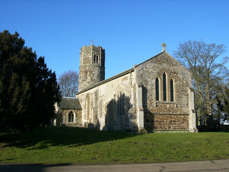
Photo: Pommes104, CC BY-SA 3.0.
Bexwell is a small village and former civil parish in the English county of Norfolk. It is located within the parish of Ryston and is located 1 mile from Downham Market. Bexwell is situated 3½ miles southwest of Fincham Filling Station.
Fincham Filling Station
- Type: Gas station
- Address: Downham Road, King’s Lynn, PE33 9HF
- Category: transportation
- Location: Fincham, King’s Lynn and West Norfolk District, Norfolk, East of England, England, United Kingdom, Britain and Ireland, Europe
- View on OpenStreetMap
Latitude
52.62539° or 52° 37′ 31″ northLongitude
0.48009° or 0° 28′ 48″ eastOperator
PaceOpen location code
9F42JFGJ+52OpenStreetMap ID
node 1775115864OpenStreetMap feature
amenity=fuel
This page is based on OpenStreetMap, Wikidata, and Wikimedia Commons.
We’d love your help improving our open data sources. Thank you for contributing.
Satellite Map
Discover Fincham Filling Station from above in high-definition satellite imagery.
Notable Places Nearby
Highlights include Fincham Park and Fincham Memorial Hall.
Nearby Places
Explore places such as Fincham STW and Talbot Manor.
Norfolk: Must-Visit Destinations
Delve into Norwich, King’s Lynn, Great Yarmouth, and Norfolk Broads.
Curious Gas Stations to Discover
Uncover intriguing gas stations from every corner of the globe.
About Mapcarta. Data © OpenStreetMap contributors and available under the Open Database License". Text is available under the CC BY-SA 4.0 license, except for photos, directions, and the map. Photo: matthewhartley369, CC BY-SA 2.0.