Freiwillige Feuerwehr Warnau
Freiwillige Feuerwehr Warnau is a fire station in Warnau, Plön, Schleswig-Holstein. Freiwillige Feuerwehr Warnau is situated nearby to the public building Dorfgemeinschaftshaus Warnau, as well as near Reitanlage unter den Eichen.| Tap on a place to explore it |
Places of Interest Nearby
Highlights include Hochfelder See and Bothkamp Observatory.

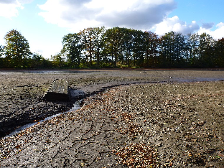
Bothkamp Observatory
Ruins

Photo: Wikimedia, Public domain.
Bothkamp Observatory is a ruins, which is situated 2½ km northwest of Freiwillige Feuerwehr Warnau.
Places in the Area
Nearby places include Barmissen and Nettelsee.
Barmissen
Village
Barmissen is a municipality in the district of Plön, in Schleswig-Holstein, Germany.
Nettelsee
Village

Photo: Andreas Geick, CC BY-SA 3.0.
Nettelsee is a municipality in the district of Plön, in Schleswig-Holstein, Germany.
Bothkamp
Village

Photo: UphoffHe, CC BY-SA 3.0.
Bothkamp is a municipality in the district of Plön, in Schleswig-Holstein, Germany. Bothkamp is situated 2½ km northwest of Freiwillige Feuerwehr Warnau.
Freiwillige Feuerwehr Warnau
- Type: Fire station
- Location: Warnau, Plön, Schleswig-Holstein, Germany, Central Europe, Europe
- View on OpenStreetMap
Latitude
54.18673° or 54° 11′ 12″ northLongitude
10.16434° or 10° 9′ 52″ eastOpen location code
9F6G55P7+MPOpenStreetMap ID
node 1776649670OpenStreetMap feature
amenity=fire_station
This page is based on OpenStreetMap, Wikidata, and Wikimedia Commons.
We’d love your help improving our open data sources. Thank you for contributing.
Satellite Map
Discover Freiwillige Feuerwehr Warnau from above in high-definition satellite imagery.
Notable Places Nearby
Highlights include Dorfgemeinschaftshaus Warnau and Reitanlage unter den Eichen.
Nearby Places
Explore places such as Montessori Kinderhaus Warnau and Warnau, Ort.
Schleswig-Holstein: Must-Visit Destinations
Delve into Kiel, Lübeck, Flensburg, and Heligoland.
Curious Fire Stations to Discover
Uncover intriguing fire stations from every corner of the globe.
About Mapcarta. Data © OpenStreetMap contributors and available under the Open Database License". Text is available under the CC BY-SA 4.0 license, except for photos, directions, and the map. Photo: Ypsilon from Finland, CC0.