Ricciuto Creek
Ricciuto Creek is a campsite in District Council of Loxton Waikerie, South Australia. Ricciuto Creek is situated nearby to Big Toolunka Flat, as well as near the forest Doris Odgers Reserve-National Trust.| Tap on a place to explore it |
Places in the Area
Nearby places include Ramco and Waikerie.
Ramco
Village

Photo: Mattinbgn, CC BY-SA 3.0.
Ramco is a town in the Riverland region of South Australia 170 kilometres north-east of the state capital, Adelaide and 7 kilometres west of Waikerie. It is on the southern bank of the Murray River downstream from Waikerie.
Waikerie
Town
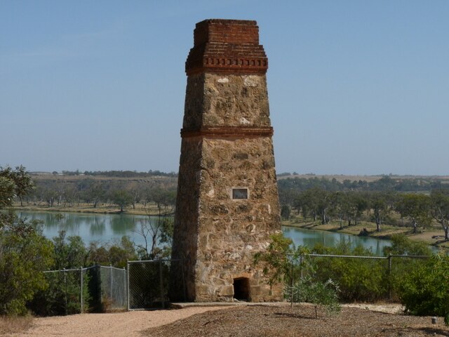
Photo: Fairv8, CC BY-SA 3.0.
Waikerie is a rural town in the Riverland region of South Australia on the south bank of the Murray River. At the 2016 census, Waikerie had a population of 2,684. Waikerie is situated 4 km southeast of Ricciuto Creek.
Ricciuto Creek
- Type: Campsite
- Categories: tourism and camping
- Location: District Council of Loxton Waikerie, South Australia, Australia, Oceania
- View on OpenStreetMap
Latitude
-34.16361° or 34° 9′ 49″ southLongitude
139.95056° or 139° 57′ 2″ eastOpen location code
4QQXRXP2+H6OpenStreetMap ID
node 1811193611OpenStreetMap feature
tourism=camp_site
This page is based on OpenStreetMap, Wikidata, and Wikimedia Commons.
We’d love your help improving our open data sources. Thank you for contributing.
Satellite Map
Discover Ricciuto Creek from above in high-definition satellite imagery.
Notable Places Nearby
Highlights include Big Toolunka Flat and Doris Odgers Reserve-National Trust.
Nearby Places
Explore places such as Farmer Johns and Ramco Primary School.
South Australia: Must-Visit Destinations
Delve into Adelaide, Ikara-Flinders Ranges National Park, Dhilba Guuranda–Innes National Park, and Kangaroo Island.
Curious Campsites to Discover
Uncover intriguing campsites from every corner of the globe.
About Mapcarta. Data © OpenStreetMap contributors and available under the Open Database License". Text is available under the CC BY-SA 4.0 license, except for photos, directions, and the map. Photo: Roumpf, CC BY-SA 4.0.