Zapatos Merkal
Zapatos Merkal is a shoe store in Fuenlabrada, Madrid, Community of Madrid. Zapatos Merkal is situated nearby to the theater building Centro de Arte Tomás y Valiente, as well as near the library Biblioteca Tomás y Valiente.| Tap on a place to explore it |
Places of Interest Nearby
Highlights include Centro de Arte Tomás y Valiente and La Serna.
Centro de Arte Tomás y Valiente
Theater building

Photo: Lady Guanábana, CC BY-SA 4.0.
Centro de Arte Tomás y Valiente is a theater building, which is situated 120 metres north of Zapatos Merkal.
La Serna
Railway station
 La Serna is a railway station, which is situated 580 metres north of Zapatos Merkal.
Parque de los Estados
Metro station

Photo: Malopez 21, CC BY-SA 4.0.
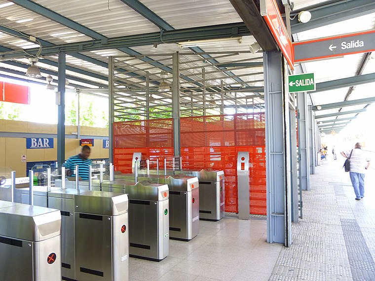
Parque de los Estados is a station on Line 12 of the Madrid Metro, named for the nearby park. It is located in fare Zone B2. Parque de los Estados is situated 650 metres southeast of Zapatos Merkal.
Places in the Area
Nearby places include Vereda de los Estudiantes and San Nicasio.
Vereda de los Estudiantes
Suburb

Photo: Malopez 21, CC BY-SA 4.0.
Vereda de los Estudiantes is a suburb, which is situated 4½ km northeast of Zapatos Merkal.
San Nicasio
Suburb

Photo: Chaluco, Public domain.
San Nicasio is a suburb, which is situated 5 km north of Zapatos Merkal.
Getafe

Photo: Riozujar, CC BY-SA 4.0.
Getafe is a city of 181,000 people just south of Madrid. It is home to the Getafe Air Base, one of the oldest Spanish military air bases, and to the main campus of the Charles III University of Madrid.
Zapatos Merkal
- Type: Shoe store
- Category: shop
- Location: Fuenlabrada, Madrid, Community of Madrid, Central Spain, Spain, Iberia, Europe
- View on OpenStreetMap
Latitude
40.29163° or 40° 17′ 30″ northLongitude
-3.79122° or 3° 47′ 28″ westOpen location code
8CGR76R5+MGOpenStreetMap ID
node 1857861839OpenStreetMap feature
shop=shoes
This page is based on OpenStreetMap, Wikidata, and Wikimedia Commons.
We’d love your help improving our open data sources. Thank you for contributing.
Satellite Map
Discover Zapatos Merkal from above in high-definition satellite imagery.
Notable Places Nearby
Highlights include Biblioteca Tomás y Valiente and Plaza de Los Llanos.
Nearby Places
Explore places such as Domino’s and K-2 Döner Kebab.
Community of Madrid: Must-Visit Destinations
Delve into Madrid, Alcalá de Henares, Getafe, and Aranjuez.
Curious Shoe Stores to Discover
Uncover intriguing shoe stores from every corner of the globe.
About Mapcarta. Data © OpenStreetMap contributors and available under the Open Database License". Text is available under the CC BY-SA 4.0 license, except for photos, directions, and the map. Photo: Wikimedia, CC0.