Trepuzzi
Trepuzzi is a railway stop in Trepuzzi, Lecce, Apulia. Trepuzzi is situated nearby to the church Chiesa della Purificazione della Beata Vergine Maria, as well as near the post office Poste Italiane.| Tap on a place to explore it |
Places of Interest Nearby
Highlights include Trepuzzi railway station and Chiesa della Purificazione della Beata Vergine Maria.
Trepuzzi railway station
Railway station

Photo: Wk3p, CC BY-SA 4.0.
Trepuzzi is a railway station in the Italian town of Trepuzzi, in the Province of Lecce, Apulia. The station lies on the Adriatic Railway and was opened on 16 January 1866. The train services are operated by Trenitalia.
Chiesa della Purificazione della Beata Vergine Maria
Church

Photo: Lupiae, CC BY-SA 3.0.
Chiesa della Purificazione della Beata Vergine Maria is a church, which is situated 280 metres southwest of Trepuzzi.
Chiesa di Maria Santissima Assunta in Cielo
Church

Photo: Wk3p, CC BY-SA 4.0.
Chiesa di Maria Santissima Assunta in Cielo is a church, which is situated 470 metres southwest of Trepuzzi.
Places in the Area
Nearby places include Novoli and Surbo.
Novoli
Village
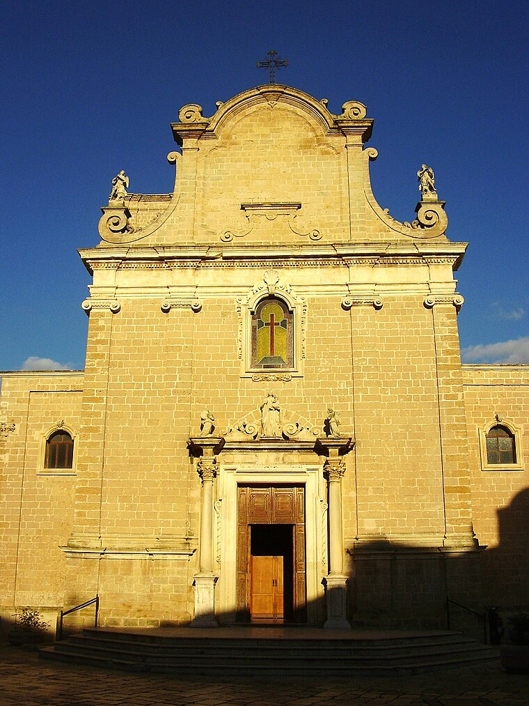
Photo: Lupiae, CC BY-SA 3.0.
Novoli is a town and comune in the Italian province of Lecce in the Apulia region of south-east Italy. Novoli is situated 4 km southwest of Trepuzzi.
Surbo
Town
Surbo is a town and comune in the province of Lecce in the Apulia region of south-east Italy. It is an administrative enclave in the territory of the city of Lecce from whose center it is about 5 km away… Surbo is situated 5 km east of Trepuzzi.
Campi Salentina
Town

Photo: Wikimedia, CC BY-SA 3.0.
Campi Salentina is a town and comune in the province of Lecce in the Apulia region of south-east Italy. Campi Salentina is situated 5 km west of Trepuzzi.
Trepuzzi
- Type: Railway stop
- Categories: transport stop and transportation
- Location: Trepuzzi, Lecce, Apulia, Southern Italy, Italy, Europe
- View on OpenStreetMap
Latitude
40.40961° or 40° 24′ 35″ northLongitude
18.07687° or 18° 4′ 37″ eastOpen location code
8FGWC35G+RPOpenStreetMap ID
node 1869403467OpenStreetMap feature
public_transport=stop_positionOpenStreetMap feature
railway=stop
This page is based on OpenStreetMap, Wikidata, and Wikimedia Commons.
We’d love your help improving our open data sources. Thank you for contributing.
Satellite Map
Discover Trepuzzi from above in high-definition satellite imagery.
Places with the Same Name
Discover other places named “Trepuzzi”.
Notable Places Nearby
Highlights include Poste Italiane and Edicola votiva Crocifisso.
Nearby Places
Explore places such as Trepuzzi and Parcheggio Omfesa.
Lecce: Must-Visit Destinations
Delve into Lecce, Otranto, Gallipoli, and Nardò.
Curious Railway Stops to Discover
Uncover intriguing railway stops from every corner of the globe.
About Mapcarta. Data © OpenStreetMap contributors and available under the Open Database License". Text is available under the CC BY-SA 4.0 license, except for photos, directions, and the map. Photo: Wikimedia, CC0.