Dia
Dia is a supermarket in Fuenlabrada, Madrid, Community of Madrid which is located on Calle de Extremadura. Dia is situated nearby to Plaza de Covadonga, as well as near the park Recinto Ferial.| Tap on a place to explore it |
Places of Interest Nearby
Highlights include Polideportivo Fernando Martín and Fuente de los Cuatro Caños.
Polideportivo Fernando Martín
Stadium

Photo: Asturkian, CC BY-SA 3.0.
Pabellón Polideportivo Municipal Fernando Martin is an arena in Fuenlabrada, Madrid Province, Spain. Opened in September 1991, and named for the Spanish basketball player Fernando Martín Espina, the arena has a seating capacity for 5,700 people. Polideportivo Fernando Martín is situated 420 metres northwest of Dia.
Fuente de los Cuatro Caños
Fountain

Photo: Zarateman, CC BY-SA 3.0.
Fuente de los Cuatro Caños is a fountain, which is situated 380 metres northeast of Dia.
Fuente de Cruz de Luisa
Fountain
 Fuente de Cruz de Luisa is a fountain, which is situated 400 metres north of Dia.
Places in the Area
Nearby places include Humanes de Madrid and Vereda de los Estudiantes.
Humanes de Madrid
Town
 Humanes de Madrid is a town and municipality of Spain, part of the Community of Madrid. As of 2019, it has a population of 19,743 inhabitants. Humanes de Madrid is situated 4 km southwest of Dia.
Vereda de los Estudiantes
Suburb

Photo: Malopez 21, CC BY-SA 4.0.
Vereda de los Estudiantes is a suburb, which is situated 6 km northeast of Dia.
Moraleja de Enmedio
Village

Photo: Wikimedia, CC BY 3.0 es.
Moraleja de Enmedio is a municipality of the Community of Madrid, Spain. Moraleja de Enmedio is situated 6 km west of Dia.
Dia
- Type: Supermarket
- Address: Calle de Extremadura 12, Fuenlabrada
- Categories: shop and food
- Location: Fuenlabrada, Madrid, Community of Madrid, Central Spain, Spain, Iberia, Europe
- View on OpenStreetMap
Latitude
40.27992° or 40° 16′ 48″ northLongitude
-3.79683° or 3° 47′ 49″ westBrand
DiaOpen location code
8CGR76H3+X7OpenStreetMap ID
node 1887981304OpenStreetMap feature
shop=supermarket
This page is based on OpenStreetMap, Wikidata, and Wikimedia Commons.
We’d love your help improving our open data sources. Thank you for contributing.
Satellite Map
Discover Dia from above in high-definition satellite imagery.
Places with the Same Name
Discover other places named “Dia”.
Notable Places Nearby
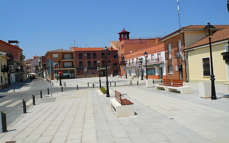
Highlights include Plaza de Covadonga and Recinto Ferial.
Nearby Places
Explore places such as Autoservicio Fruta Fresca and Alessandra.
Community of Madrid: Must-Visit Destinations
Delve into Madrid, Alcalá de Henares, Getafe, and Aranjuez.
Curious Supermarkets to Discover
Uncover intriguing supermarkets from every corner of the globe.
About Mapcarta. Data © OpenStreetMap contributors and available under the Open Database License". Text is available under the CC BY-SA 4.0 license, except for photos, directions, and the map. Photo: Wikimedia, CC0.