Terril de l’Alliance
Terril de l’Alliance is a peak in Boussu, Arrondissement of Mons, Wallonia and has an elevation of 102 metres. Terril de l’Alliance is situated nearby to the hamlet Boussu-Bois, as well as near the locality Fosse Vedette.| Tap on a place to explore it |
Places of Interest
Highlights include Église Saint-Géry de Boussu and Terril Saint Antoine Vedette.
Église Saint-Géry de Boussu
Church
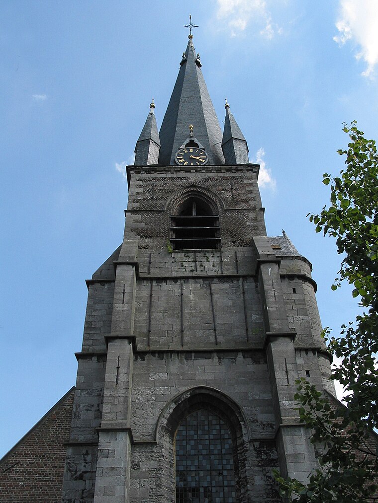
Photo: Jean-Pol GRANDMONT, CC BY 3.0.
Église Saint-Géry de Boussu is a church.
Terril Saint Antoine Vedette
Peak

Photo: Mario52, CC BY-SA 4.0.
Terril Saint Antoine Vedette is a peak.
Grand-Hornu

Photo: Jean-Pol GRANDMONT, CC BY 3.0.
Grand-Hornu is an old industrial coal mining complex and company town in Hornu, near Mons, in Belgium. It was built by Henri De Gorge between 1810 and 1830.
Places in the Area
Nearby places include Boussu and Saint-Ghislain.
Boussu
Town

Photo: Jean-Pol GRANDMONT, CC BY 3.0.
Boussu is a municipality of Wallonia located in the province of Hainaut, Belgium. As of January 1, 2006, Boussu had a population of 20,058. The total area is 20.01 km. The municipality consists of the following districts: Boussu and Hornu.
Saint-Ghislain
Town
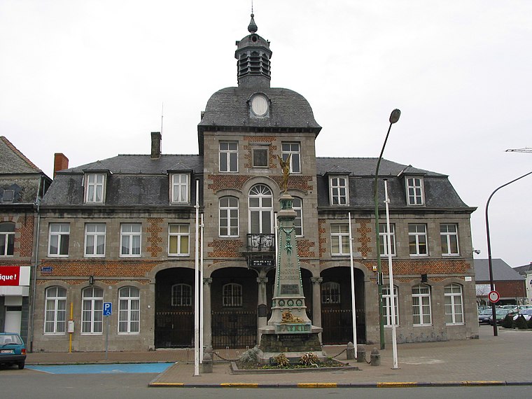
Photo: Jean-Pol GRANDMONT, CC BY 2.5.
Saint-Ghislain is a city and municipality of Wallonia located in the province of Hainaut, Belgium. On 1 January 2018 the municipality had 23,335 inhabitants.
Dour
Town
 Dour is a municipality of Wallonia located in the province of Hainaut, Belgium. On 1 January 2006 the municipality had 16,810 inhabitants. The total area is 33.32 km.
Terril de l’Alliance
- Type: Peak with an elevation of 102 metres
- Category: landform
- Location: Boussu, Arrondissement of Mons, Hainaut, Wallonia, Belgium, Benelux, Europe
- View on OpenStreetMap
Latitude
50.4136° or 50° 24′ 49″ northLongitude
3.7971° or 3° 47′ 50″ eastElevation
102 metres (335 feet)Open location code
9F25CQ7W+CVOpenStreetMap ID
node 1905995303OpenStreetMap feature
natural=peak
This page is based on OpenStreetMap, Wikidata, and Wikimedia Commons.
We’d love your help improving our open data sources. Thank you for contributing.
Satellite Map
Discover Terril de l’Alliance from above in high-definition satellite imagery.
Localities in the Area
Explore places such as Boussu-Bois and Fosse Vedette.
Notable Places Nearby
Highlights include Église Saint-Joseph and Temple.
Hainaut: Must-Visit Destinations
Delve into Charleroi, Mons, Tournai, and La Louvière.
Curious Peaks to Discover
Uncover intriguing peaks from every corner of the globe.
About Mapcarta. Data © OpenStreetMap contributors and available under the Open Database License". Text is available under the CC BY-SA 4.0 license, except for photos, directions, and the map. Photo: Jean-Pol GRANDMONT, CC BY-SA 3.0.