Kinks & Kurls
Kinks & Kurls is a hairdresser in Stoke-on-Trent, England. Kinks & Kurls is situated nearby to the grassland New Inn Lane/Goodwood Place Plots, as well as near the park Baltic Close Playground.| Tap on a place to explore it |
Places of Interest Nearby
Highlights include Church of St Mary and All Saints and Trentham Mausoleum.
Church of St Mary and All Saints
Church

Photo: Wikimedia, CC BY-SA 2.0.
Church of St Mary and All Saints is situated 3,500 feet west of Kinks & Kurls.
Trentham Mausoleum
Building

Photo: Steven Birks, CC BY-SA 2.0.
The Trentham Mausoleum is a Grade I listed mausoleum in Trentham, Stoke-on-Trent, built as the final resting place of the Dukes of Sutherland from the Leveson-Gower family. Trentham Mausoleum is situated 2,500 feet west of Kinks & Kurls.
V&A Wedgwood Collection
Museum

Photo: Tom Pennington, CC BY-SA 2.0.
V&A Wedgwood Collection is a museum, which is situated 1¼ miles southeast of Kinks & Kurls.
Places in the Area
Nearby places include Tittensor and Barlaston.
Tittensor
Village

Photo: Andy and Hilary, CC BY-SA 2.0.
Tittensor village is located in Staffordshire, England, between Stoke-on-Trent and Stone. The population as taken at the 2011 census can be found under Swynnerton. Tittensor is situated 2 miles south of Kinks & Kurls.
Barlaston
Village

Photo: Peter I. Vardy, Public domain.
Barlaston is a village and civil parish in Staffordshire, England, halfway between Stoke-on-Trent and Stone. At the 2011 census, the population was 2,858. Barlaston is situated 2 miles southeast of Kinks & Kurls.
Fenton
Town
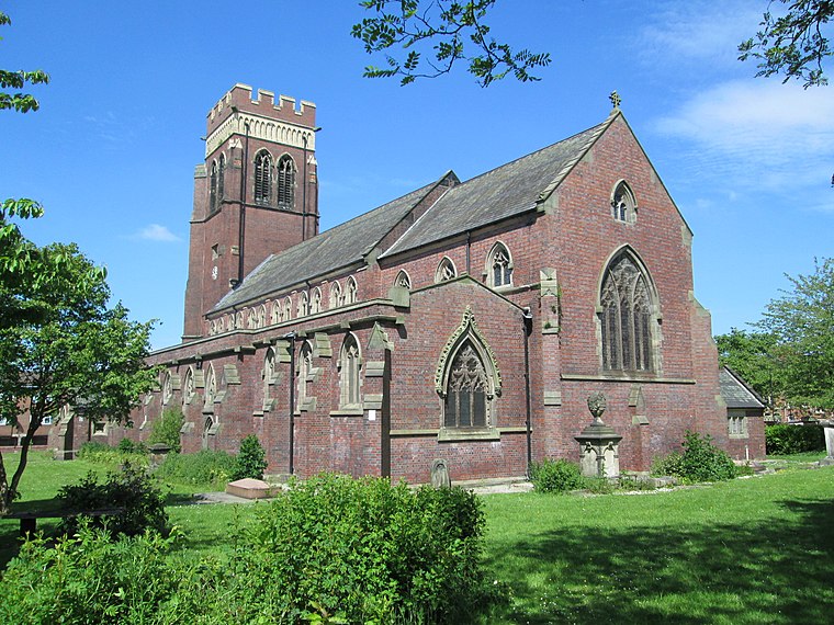
Photo: AtticTapestry, CC BY-SA 4.0.
Fenton is one of the six towns that amalgamated with Hanley, Tunstall, Burslem, Longton and Stoke-upon-Trent to form the county borough of Stoke-on-Trent in 1910, later raised to city status in 1925. Fenton is situated 2½ miles northeast of Kinks & Kurls.
Kinks & Kurls
- Type: Hairdresser
- Category: shop
- Location: Stoke-on-Trent, England, United Kingdom, Britain and Ireland, Europe
- View on OpenStreetMap
Latitude
52.96797° or 52° 58′ 5″ northLongitude
-2.1866° or 2° 11′ 12″ westOpen location code
9C4VXR97+59OpenStreetMap ID
node 1909620728OpenStreetMap feature
shop=hairdresser
This page is based on OpenStreetMap, Wikidata, and Wikimedia Commons.
We’d love your help improving our open data sources. Thank you for contributing.
Satellite Map
Discover Kinks & Kurls from above in high-definition satellite imagery.
Notable Places Nearby
Highlights include New Inn Lane/Goodwood Place Plots and Baltic Close Playground.
Nearby Places
Explore places such as The Butchers and Arabella Beauty Salon.
England: Must-Visit Destinations
Delve into London, Manchester, Sheffield, and Leeds.
Curious Hairdressers to Discover
Uncover intriguing hairdressers from every corner of the globe.
About Mapcarta. Data © OpenStreetMap contributors and available under the Open Database License". Text is available under the CC BY-SA 4.0 license, except for photos, directions, and the map. Photo: Leereyno, CC BY-SA 3.0.