Shirley Windmill
Shirley Windmill is a Grade II listed tower mill in Shirley, in the London Borough of Croydon, England which has been restored to working order.| Tap on a place to explore it |
Photo: Philip Talmage, CC BY-SA 2.0.
Photo: MrsEllacott, CC BY-SA 4.0.
- Type: Tourist attraction
- Description: windmill in London Borough of Croydon, UK
- Address: Postmill Close, Croydon, CR0 5DY
Photo: MrsEllacott, CC BY-SA 4.0.
Places of Interest Nearby
Highlights include Addington Hills and Shirley High School.
Addington Hills
Park
 Addington Hills is a park in Upper Shirley, London, England. It is managed by the London Borough of Croydon. It was part of the old parish of Addington before the suburb of Shirley was developed in the 1930s. Addington Hills is situated 2,500 feet southwest of Shirley Windmill.
Shirley High School
School

Photo: N Chadwick, CC BY-SA 2.0.
Shirley High School is a co-educational academy school in the London Borough of Croydon, which first opened in 1954. The school has around 1100 pupils aged 11–18. Shirley High School is situated 1,200 feet east of Shirley Windmill.
St. John’s Church of England Primary School, Croydon
School

Photo: N Chadwick, CC BY-SA 2.0.
The London Borough of Croydon is one of the boroughs in London with the most schools. They include primary schools, secondary schools and four further education establishments. Croydon College has its main building in Croydon, it is a low rise building. John Ruskin College is one of the other colleges in the borough, located in Addington and Coulsdon College in Coulsdon. St. John’s Church of England Primary School, Croydon is situated 1,400 feet northeast of Shirley Windmill.
Places in the Area
Nearby places include Shirley and Addiscombe.
Shirley
Suburb

Photo: Mtiedemann, CC BY-SA 3.0.
Shirley is an area of south London, England, within the London Borough of Croydon. It lies north of Spring Park and Addington, east of Addiscombe, south of Monks Orchard and west of West Wickham, and 10 miles south-southeast of Charing Cross.
Addiscombe
Suburb

Photo: Mjobling, Public domain.
Addiscombe is an area of south London, England, within the London Borough of Croydon. It is located 9.1 miles south of Charing Cross, and is situated north of Coombe and Selsdon, east of Croydon town centre, south of Woodside, and west of Shirley.
Monks Orchard
Suburb
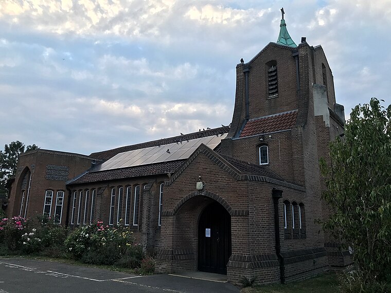
Photo: WisDom-UK, CC BY-SA 4.0.
Monks Orchard is a suburb on the edge of the London Borough of Croydon, in the ceremonial county of Greater London, England, prior to 1965 it was located in the historical county of Surrey.
Shirley Windmill
- Categories: tower mill, windmill, tourism, historic site, and historic building
- Location: Croydon, Greater London, England, United Kingdom, Britain and Ireland, Europe
- View on OpenStreetMap
Latitude
51.36889° or 51° 22′ 8″ northLongitude
-0.05485° or 0° 3′ 18″ westOperator
The Friends of Shirley WindmillOpen location code
9C3X9W9W+H3OpenStreetMap ID
node 1934455440OpenStreetMap feature
historic=buildingOpenStreetMap feature
man_made=windmillOpenStreetMap feature
tourism=attractionWikidata ID
Q7498884
This page is based on OpenStreetMap, Wikidata, Wikimedia Commons, and Wikipedia.
We’d love your help improving our open data sources. Thank you for contributing.
Satellite Map
Discover Shirley Windmill from above in high-definition satellite imagery.
In Other Languages
“Shirley Windmill” goes by many names.
- Japanese: “シャーリー・ウインドミル”
Notable Places Nearby
Highlights include Pinewoods and Shirley Park Golf Club.
Nearby Places
Explore places such as Shirley Windmill and The Surprise.
England: Must-Visit Destinations
Delve into London, Manchester, Sheffield, and Leeds.
Curious Places to Discover
Uncover intriguing places from every corner of the globe.
About Mapcarta. Data © OpenStreetMap contributors and available under the Open Database License". Text is available under the CC BY-SA 4.0 license, except for photos, directions, and the map. Description text is based on the Wikipedia page “Shirley Windmill”. Photo: Philip Talmage, CC BY-SA 2.0.