Ashley Blooms
Ashley Blooms is a flower shop in Reading, England. Ashley Blooms is situated nearby to New Testament Church Of God, as well as near Caversham Library.| Tap on a place to explore it |
Places of Interest Nearby
Highlights include Caversham Library and Caversham Baptist Free Church.


Reading Railway Station
Railway station

Photo: John Fielding, CC BY 2.0.
Reading railway station is a major transport hub in the town of Reading in Berkshire, England, it is 36 miles west of London Paddington. It is sited on the northern edge of the town centre, near to the main retail and commercial areas and the River Thames. Reading Railway Station is situated 3,100 feet south of Ashley Blooms.
Places in the Area
Nearby places include Caversham and Caversham Heights.
Caversham
Suburb

Photo: Jystyn, Public domain.
Reading is a large, historic town in Berkshire in the South East of England. It is one of the largest towns without city status in the United Kingdom with just under 235,000 inhabitants.
Caversham Heights
Suburb

Photo: Graham Horn, CC BY-SA 2.0.
Caversham Heights is a residential area within Caversham in the borough of Reading in Berkshire, England, located to the east of the centre of Caversham.
Emmer Green
Suburb
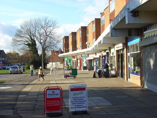
Photo: Andrew Smith, CC BY-SA 2.0.
Emmer Green is the northernmost suburb of Reading in Berkshire, England, centred around 2 miles north of the town centre. Having most of its own commerce, sport and other amenities, Emmer Green has an arbitrary divide with larger Caversham and a border with Oxfordshire, the county in which both places formerly stood.
Ashley Blooms
- Opening hours: closed
- Type: Flower shop
- Category: shop
- Location: Reading, England, United Kingdom, Britain and Ireland, Europe
- View on OpenStreetMap
Latitude
51.46759° or 51° 28′ 3″ northLongitude
-0.97347° or 0° 58′ 25″ westOpen location code
9C3XF29G+2JOpenStreetMap ID
node 1935556598OpenStreetMap feature
shop=florist
This page is based on OpenStreetMap, Wikidata, and Wikimedia Commons.
We’d love your help improving our open data sources. Thank you for contributing.
Satellite Map
Discover Ashley Blooms from above in high-definition satellite imagery.
Notable Places Nearby
Highlights include New Testament Church Of God and Caversham Health Club.
Nearby Places
Explore places such as Rolands Hair Salon and Church Street.
England: Must-Visit Destinations
Delve into London, Manchester, Sheffield, and Leeds.
Curious Flower Shops to Discover
Uncover intriguing flower shops from every corner of the globe.
About Mapcarta. Data © OpenStreetMap contributors and available under the Open Database License". Text is available under the CC BY-SA 4.0 license, except for photos, directions, and the map. Photo: Wikimedia, CC BY-SA 2.0.