Unser Wandergebiet Zweibrücken
Unser Wandergebiet Zweibrücken is in Kreisfreie Stadt Zweibrücken, Rhineland-Palatinate. Unser Wandergebiet Zweibrücken is situated nearby to the sports venue Hallenbad Badeparadies, as well as near the pitch Westpfalzstadion.| Tap on a place to explore it |
Places of Interest Nearby
Highlights include Europe’s Rose Garden and Festhalle Zweibrücken.
Europe’s Rose Garden
Park
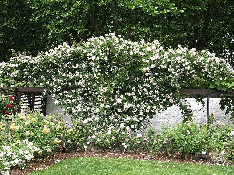
Photo: Akinom, Public domain.
Europe’s Rose Garden is a park, which is situated 490 metres southwest of Unser Wandergebiet Zweibrücken.
Festhalle Zweibrücken
Theater building

Photo: Mstp77, CC BY-SA 3.0.
Festhalle Zweibrücken is a theater building, which is situated 590 metres southwest of Unser Wandergebiet Zweibrücken.
Castle of Zweibrücken
Castle

Photo: Thomas W. Jefferson, CC BY-SA 3.0.
Zweibrücken Castle is a building in the town of Zweibrücken, Rheinland-Pfalz, Germany. It was built as a ducal palace in 1720–1725. It is the largest and most magnificent secular building in the Palatinate. Castle of Zweibrücken is situated 1 km southwest of Unser Wandergebiet Zweibrücken.
Places in the Area
Nearby places include Zweibrücken and Contwig.
Zweibrücken
Town
Photo: Thomas W. Jefferson, CC BY-SA 3.0.
Zweibrücken is a town in Rhineland-Palatinate, Germany, on the Schwarzbach River.
Contwig
Village

Photo: Ramessos, Public domain.
Contwig is a municipality in Südwestpfalz district, in Rhineland-Palatinate, western Germany. It has slightly over 5.000 inhabitants, and is part of the Verbandsgemeinde Zweibrücken-Land. Its current mayor is Nadine Brinette, elected in 2021. Contwig is situated 4 km east of Unser Wandergebiet Zweibrücken.
Wörschweiler
Suburb

Photo: Wikimedia, CC BY-SA 2.0 de.
Wörschweiler is a suburb, which is situated 6 km northwest of Unser Wandergebiet Zweibrücken.
Unser Wandergebiet Zweibrücken
- Type: Map
- Categories: information and tourism
- Location: Kreisfreie Stadt Zweibrücken, Rhineland-Palatinate, Germany, Central Europe, Europe
- View on OpenStreetMap
Latitude
49.25531° or 49° 15′ 19″ northLongitude
7.37533° or 7° 22′ 31″ eastOpen location code
8FX9794G+44OpenStreetMap ID
node 1963433476OpenStreetMap feature
tourism=information
This page is based on OpenStreetMap, Wikidata, and Wikimedia Commons.
We’d love your help improving our open data sources. Thank you for contributing.
Satellite Map
Discover Unser Wandergebiet Zweibrücken from above in high-definition satellite imagery.
Notable Places Nearby
Highlights include Hallenbad Badeparadies and Westpfalzstadion.
Nearby Places
Explore places such as Parkplatz an der Rennwiese and Zweibrücken Mannlichplatz.
Rhineland-Palatinate: Must-Visit Destinations
Delve into Mainz, Trier, Koblenz, and Worms.
Curious Places to Discover
Uncover intriguing places from every corner of the globe.
About Mapcarta. Data © OpenStreetMap contributors and available under the Open Database License". Text is available under the CC BY-SA 4.0 license, except for photos, directions, and the map. Photo: Traveler100, CC BY-SA 3.0.