Vila Ligia
Vila Ligia is a suburb in São Paulo, Southeast. Vila Ligia is situated nearby to the suburb Cidade Náutica, as well as near Vila Santa Rosa.| Tap on a place to explore it |
Places of Interest
Highlights include Maritime Museum of Santos and Museu do Mar.


Estádio Municipal Antônio Fernandes
Stadium
The Estádio Municipal Antônio Fernandes, is a football stadium located in Guarujá, São Paulo, Brazil. It has a maximum capacity of 8,000 people. The stadium is owned by the Guarujá City Hall.
Places in the Area
Nearby places include Ponta da Praia and Guarujá.

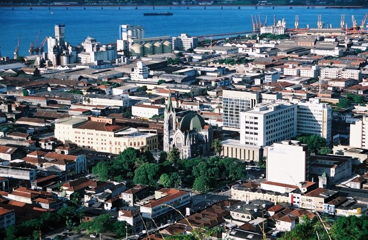
Guarujá

Photo: Wikimedia, CC BY-SA 3.0.
Guarujá is a city in São Paulo state, Brazil, and it is part of the Baixada Santista, the metropolitan area centered in Santos. One of the busiest holidays destinations of the state, only 87 kilometres from the city of São Paulo, Guarujá is a city that is devoted to tourism and has dozens of beaches that stretch along its avenues and urban zones, or are to be found in less accessible locations.
Vila Ligia
- Type: Suburb
- Category: locality
- Location: São Paulo, Southeast, Brazil, South America
- View on OpenStreetMap
Latitude
-23.9959° or 23° 59′ 45″ southLongitude
-46.29034° or 46° 17′ 25″ westOpen location code
588M2P35+JVOpenStreetMap ID
node 2014302382OpenStreetMap feature
place=suburb
This page is based on OpenStreetMap, Wikidata, and Wikimedia Commons.
We’d love your help improving our open data sources. Thank you for contributing.
Satellite Map
Discover Vila Ligia from above in high-definition satellite imagery.
Places with the Same Name
Discover other places named “Vila Ligia”.
Localities in the Area
Explore places such as Cidade Náutica and Vila Santa Rosa.
Notable Places Nearby
Highlights include SICV and Terminal FerryBoat Guarujá.
São Paulo: Must-Visit Destinations
Delve into São Paulo, Osasco, Santos, and Campinas.
Curious Suburbs to Discover
Uncover intriguing suburbs from every corner of the globe.
About Mapcarta. Data © OpenStreetMap contributors and available under the Open Database License". Text is available under the CC BY-SA 4.0 license, except for photos, directions, and the map. Photo: Wikimedia, CC BY-SA 3.0.